Bidspirit auction | Eekhoff atlas of Frisian grietenijen
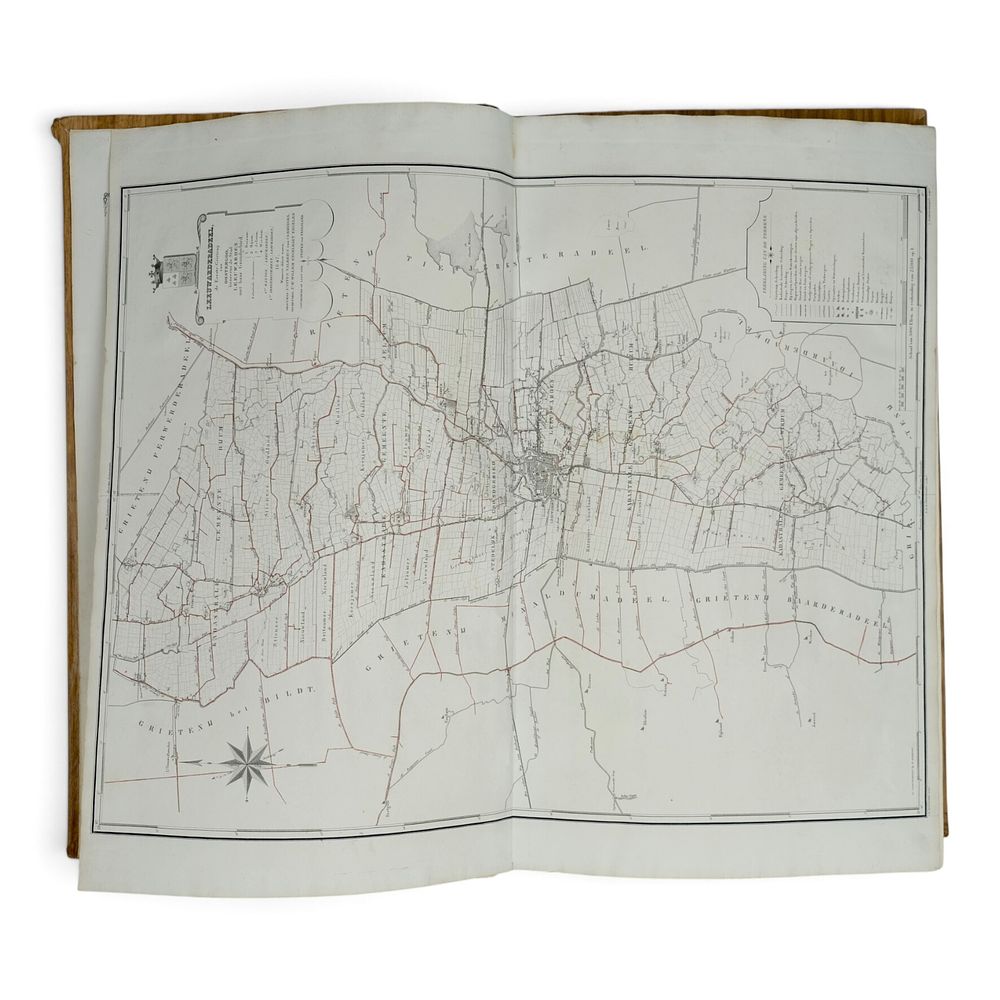
Eekhoff atlas of Frisian grietenijen or municipalities, 1849-1859 - Antique 19th-century book, 'Atlas of the Province of Friesland, containing maps of the Thirty Grietenijen or Municipalities, with the Eleven Towns situated therein and their territory, as well as of the islands of Ameland and Schiermonnikoog.' Published in Leeuwarden by W. Eekhoff, 1849-1859. With a printed “Alphabetical Index to the Municipal Maps of the New Atlas of Friesland” on the inside of the cover. Edition of a rare 19th-century atlas of Friesland (according to the introduction, 286 copies were printed for subscribers). Complete with all 32 maps of grietenijen, by J.W. Witteveen, L. Schweikhardt & D. & H. Veelwaard, in large format (77.5 x 68 cm): 1. Leeuwarderadeel, 2. Ferwerderadeel, 3. West-Dongeradeel, 4. Oost-Dongeradeel (slightly larger format), 5. Kollumerland and Nieuw-Kruisland, 6. Achtkarspelen, 7. Dantumadeel, 8. Tietjerksteradeel, 9. Smallingerland (slightly larger format), 10. Idaarderadeel, 11. Rauwerderhem, 12. Menaldumeradeel, 13. Franekeradeel, 14. Barradeel, 15. Baarderadeel, 16. Hennaarderadeel, 17. Wonseradeel, 18. Wymbritseradeel (slightly larger format), 19. Hemelumer Oldephaert and Noordwolde, 20. Het Bildt, 21. Utingeradeel, 22. Aengwirden, 24. Haskerland, 25. Schoterland (larger format), 26. Lemsterland, 27. Gaasterland, 28. Opsterland, 29. Oost-Stellingwerf, 30. West-Stellingwerf, 31. Ameland, 32. Schiermonnikoog, Dimensions: 69 x 41 x 6 cm. Condition: Achterzijde cover is loose, with later covering