Bidspirit auction | 1815 WORLD MAP WITH COOKS
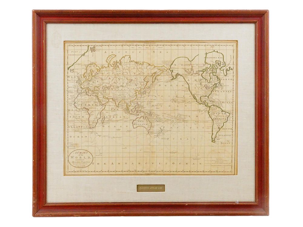
1815 WORLD MAP WITH COOKS ROUTE FROM CAREYS ATLAS - A Chart of the World According to Mercators Projection. Engraved by William Barker for Mathew Careys American edition of Guthries Geography. This map is part of the first general atlas published in the United States, titled Careys American Edition of Guthries Geography Improved. Dated 1815. The central focus of this map is the world as known in the late 18th century, with particular emphasis on the latest discoveries by Captain James Cook. Matted and framed. Collectible Wall Decor, Posters, Prints And Engravings, World Maps. THIS LOT IS ELIGIBLE FOR A 30-DAY UNCONDITIONAL RETURN FROM THE DATE OF THE SALE. RETURN SHIPPING IS THE BUYER'S RESPONSIBILITY. CANCELLATIONS REQUESTED PRIOR TO THE RECEIPT OF WON LOTS WILL NOT BE HONORED. Dimensions Frame 26 x 22 in. Image 15 x 19 in. All measurements are approximate. Condition Overall good vintage condition. Signs of wear and age. Refer to photos. Sold as is.