Bidspirit auction | ANTIQUE AMERICAN HAND COLORED JOHNSONS
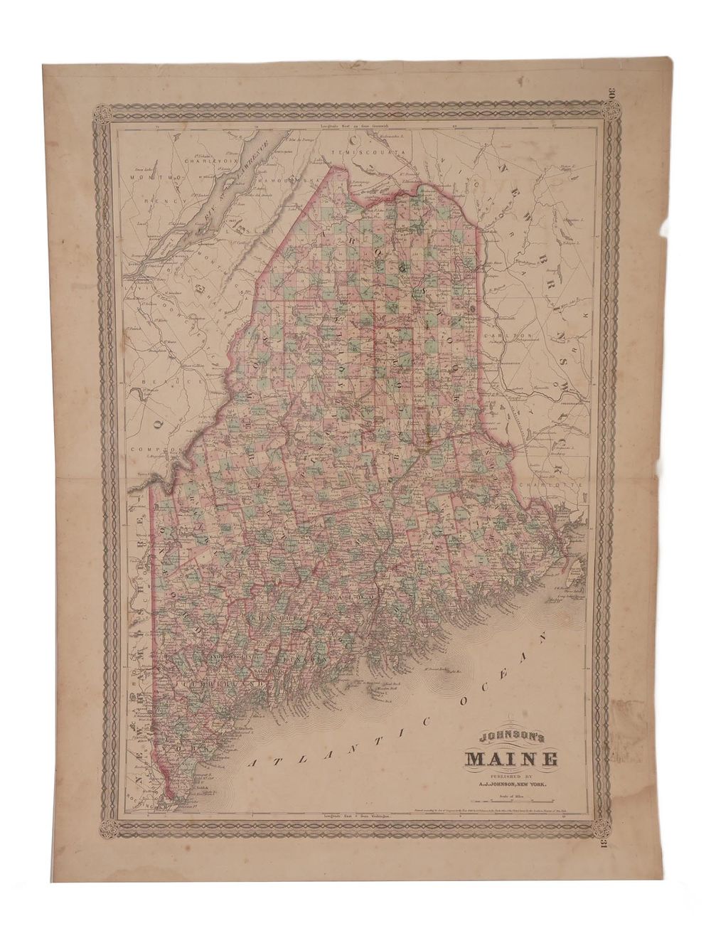
ANTIQUE AMERICAN HAND COLORED JOHNSONS MAP OF MAINE - An antique hand-colored map titled Johnsons Map of Maine, published by A.J. Johnson and issued as a plate from Johnsons New Illustrated Family Atlas, dating between 1860 and 1869. The map illustrates towns, cities, rivers, and expanding transportation networks such as roads and railroads. With its original hand coloration and classic atlas presentation. Antique American Historical Maps And Cartography Collectibles. Dimensions 24 x 18 in. All measurements are approximate Condition Overall good vintage condition. Signs of age and wear. Stains, Creases, torn paper and restored. Refer to photos. Sold As Is.