Bidspirit auction | ANTIQUE JOHN TALLIS RAPKIN MAP
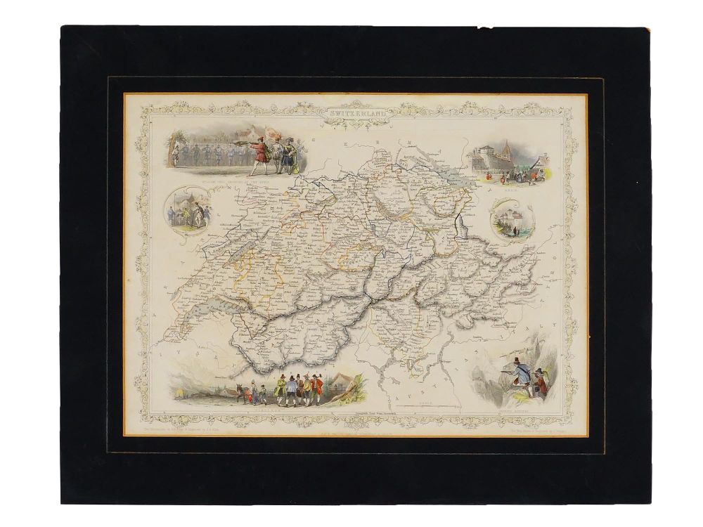
ANTIQUE JOHN TALLIS RAPKIN MAP OF SWITZERLAND - An antique steel-engraved map of Switzerland, published by John Tallis and Company around 1851. Matted. It was a key piece in Talliss famous The Illustrated Atlas, which is regarded as one of the last great decorative world atlases ever produced. The map was drawn and engraved by J. Rapkin. It is highly detailed for its time, showing cantons, major cities, mountain passes, and early railway lines. Illustrations are by A. H. Wray and engraved by J. B. Allen. Antique European Maps And Cartography Collectibles. Dimensions Full size 14 x 17 in. Image 13 x 10 in. All measurements are approximate. Condition Overall good vintage condition. Signs of wear and age. Toned. Stains. Scuffs. Refer to photos. Sold as is.