Bidspirit auction | ANTIQUE 18TH CENTURY FRENCH MAP
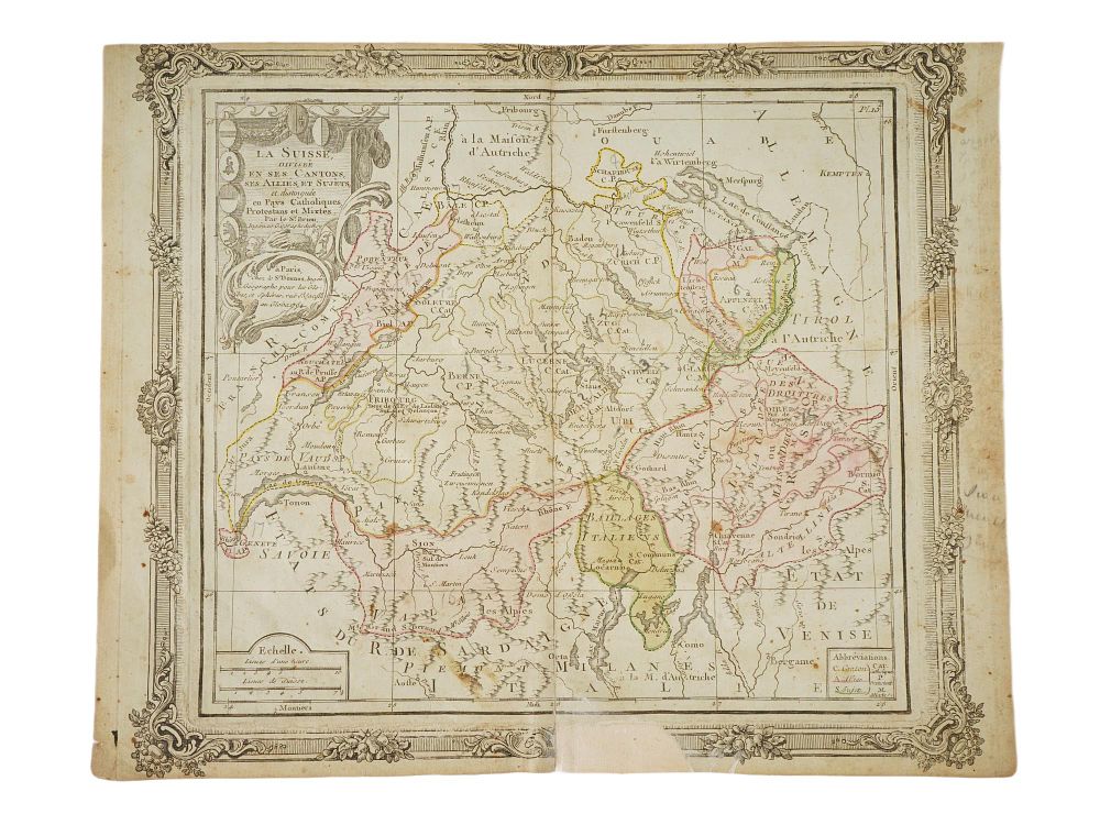
ANTIQUE 18TH CENTURY FRENCH MAP OF SWITZERLAND - An antique map of Switzerland from the 18th century, entitled La Suisse Divisee En Ses Cantons, Ses Allies et Sujets. Cartographer: Louis Brion de la Tour. The map was printed in Paris and was included in atlases such as the Atlas General methodique et elementaire. The map depicts in detail the thirteen Swiss cantons including Zurich, Bern, and Lucerne, their allies, and dependent territories. It is adorned with an elegant Rococo style title cartouche and a decorative ornamental border. Antique European Historical Maps, Graphic Art Prints, and Collectibles. Dimensions 10 3/4 x 13 1/4 in. All measurements are approximate Condition Overall good vintage condition. Signs of age and wear. Stains, creases and restired. Refer to photos. Sold As Is.