Bidspirit auction | ANTIQUE MAP OF FISHKILL DUTCHESS
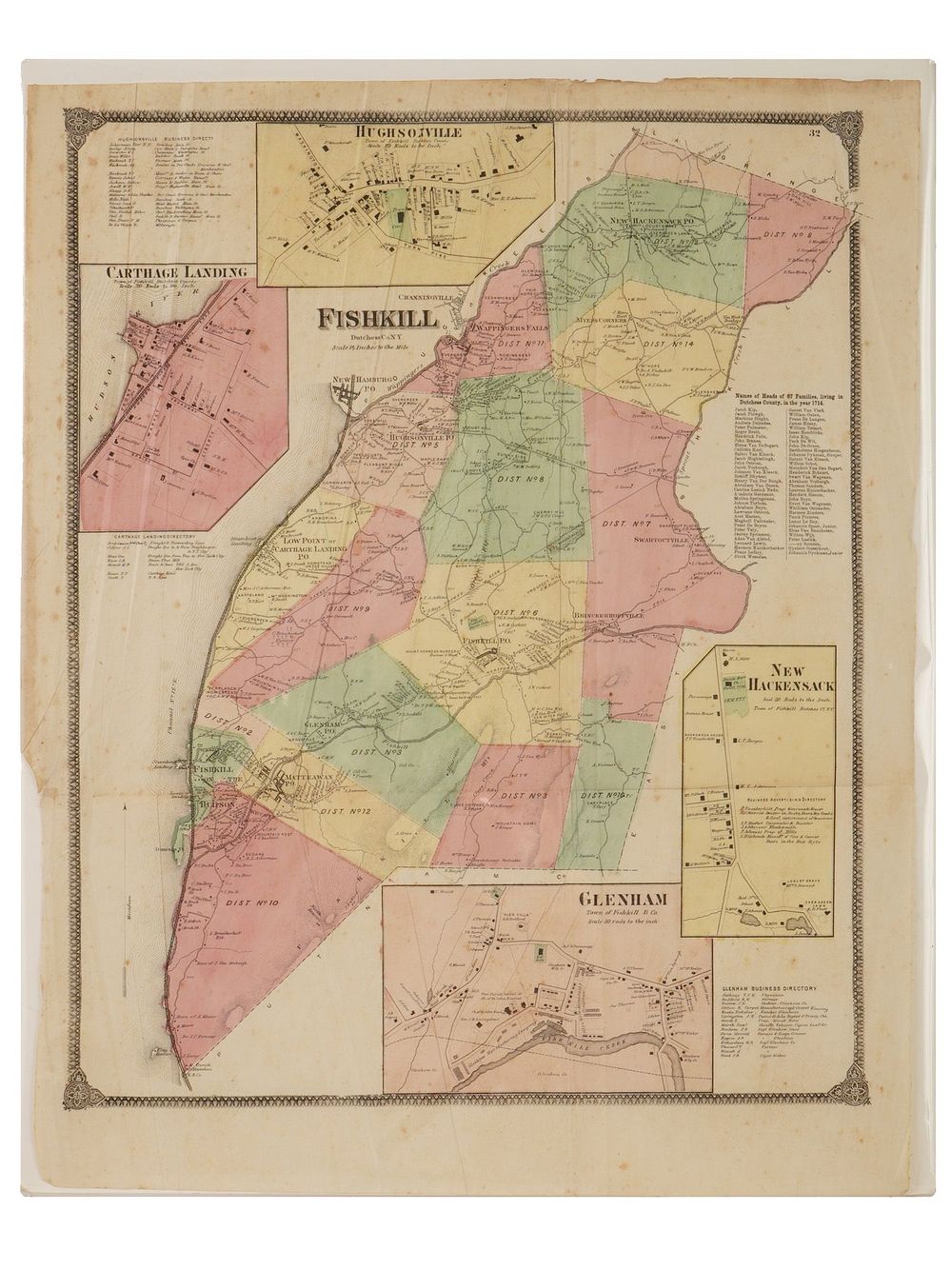
ANTIQUE MAP OF FISHKILL DUTCHESS CO NEW YORK 1867 - Frederick W. Beers' 1867 detailed hand-colored map of the town of Fishkill, New York, along the Hudson River. Coverage includes the contemporary town of Fishkill, including today's city of Beacon, in the southwest corner of Dutchess County, New York, along the Hudson River. The town is divided into districts, which are color-shaded for easy distinction. The map is so detailed that individual buildings and properties are recorded, along with their owners. This map was prepared by Beers and published in 1867 in the Atlas of New York and Vicinity from Actual Surveys. The Beers family were prominent map publishers working from the 1850s to the late 1880s. Frederick William Beers, 1839 to 1933, joined the family business in 1870. He is credited with personally mapping every county in New York State. Collectible Maps And Globes, Prints And Multiples, Historical Relics, Americana, U.S. Local History. Dimensions Overall size: 25 x 19 3/4 in. All measurements are approximate. Condition Overall good condition. Signs of age and wear. Slightly stained with wrinkles. Refer to photos. Sold As Is.