Bidspirit auction | 1720 Map of Portugal by
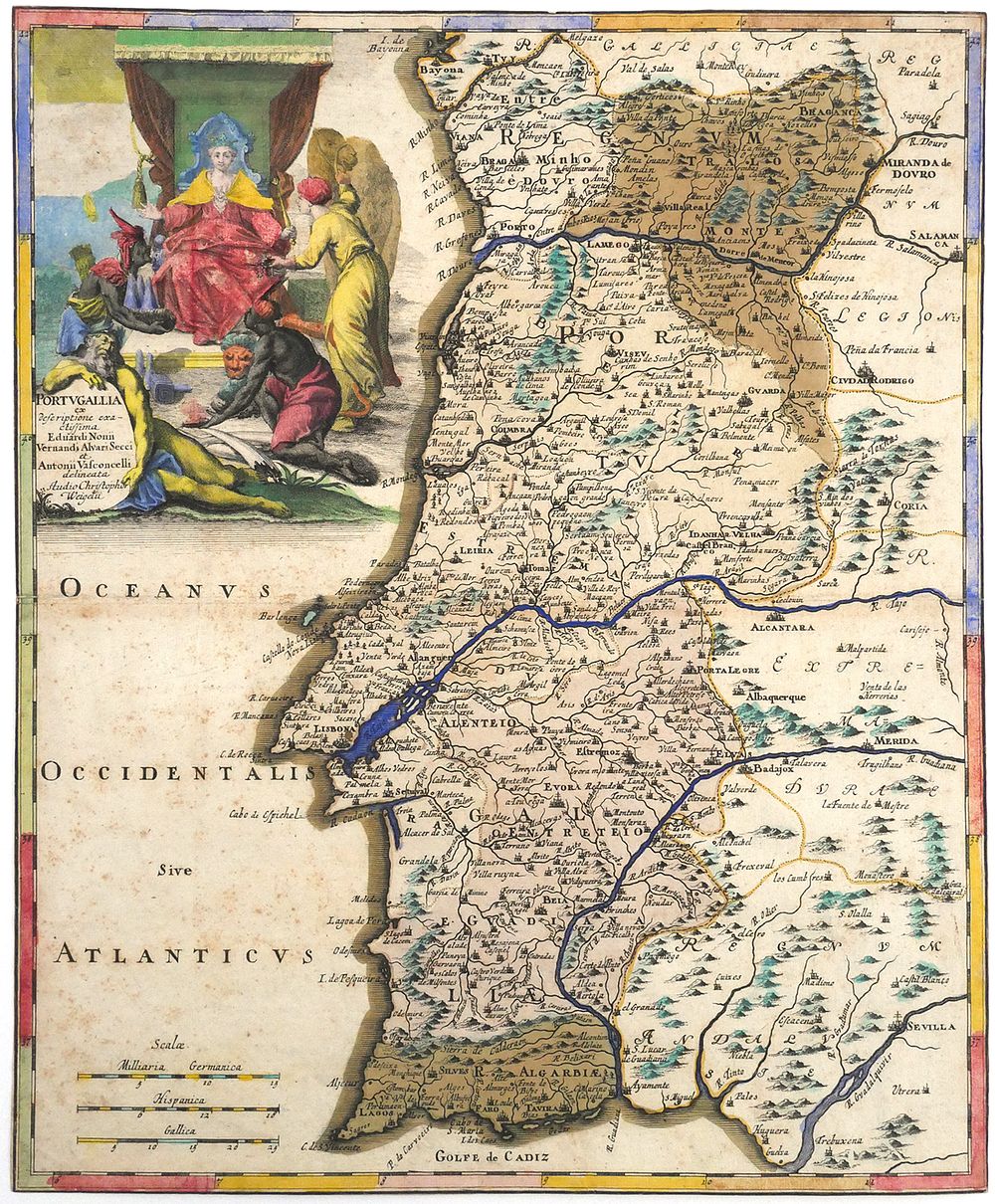
1720 Map of Portugal by Christoph Weigel - Engraved map titled ”Portvgallia ex descriptione exactissima Eduardi Nonii, Vernandi Alvari Secci et Antonii Vasconcelli delineata. Studio Christoph. Weigelii.” Published in Nuremberg circa 1720. Measures approx. 13” x 15-5/8”. Features three distance scales labeled ”Miliaria Germanica,” ”Hispanica,” and ”Gallica.” Includes an allegorical cartouche showing a crowned female figure seated on a throne with four attendants. Coastal cities, rivers, and regional names are shown throughout. Reverse is inscribed ”Portogallo.” TAGS: Portugal map, engraved cartography, 18th century print, antique European map, Weigel Nuremberg, baroque illustration. This item can be shipped in-house. Condition See images for more details on condition.