Bidspirit auction | Thomas Moule, Yorkshire West Riding,
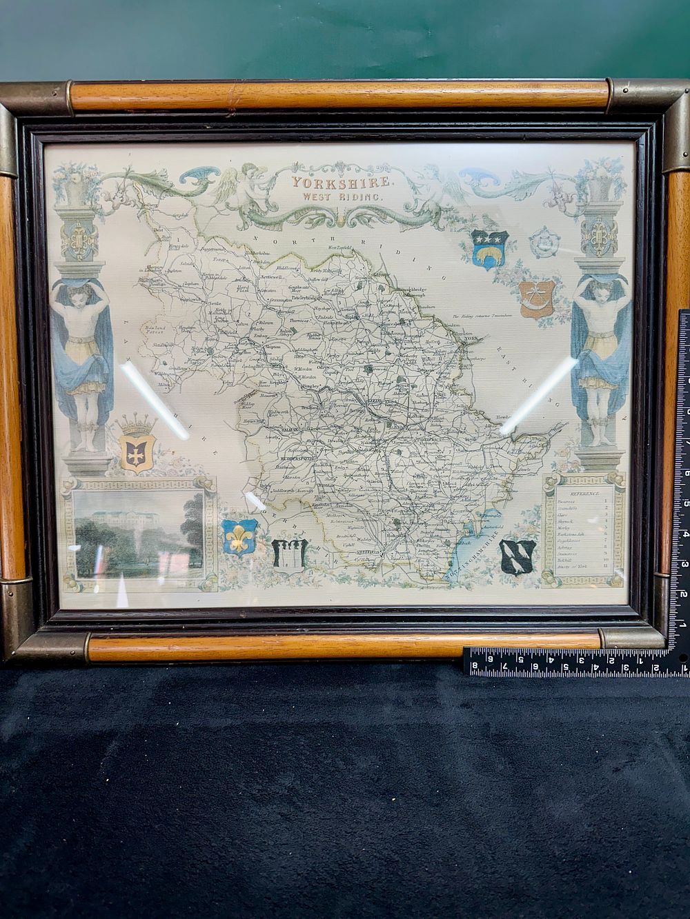
Thomas Moule, Yorkshire West Riding, Hand-Coloured Engraved Antique County Map - A hand-coloured engraved map of the West Riding of Yorkshire by the cartographer Thomas Moule (1784–1851), originally produced for The English Counties Delineated circa 1837. The map is presented in Moule's signature decorative style, featuring a central title scroll flanked by cherubs. The left and right borders consist of architectural columns with caryatid figures. The work is embellished with several heraldic coats of arms and a vignette in the lower-left corner depicting Harewood House. The cartography shows major towns such as Leeds, Sheffield, Huddersfield, Wakefield, and Bradford, and includes a reference key in the lower-right corner. The map is housed in a decorative wooden frame with a bamboo-effect central band and dark-stained edges, finished with metal-reinforced corners and stud detailing. External frame dimensions: 33 cm x 27 cm.