Bidspirit auction | Thomas Moule Framed Map of
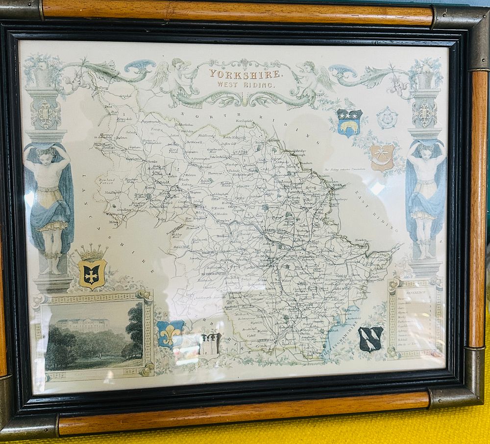
Thomas Moule Framed Map of Yorkshire West Riding - An engraved and hand-coloured decorative county map of the West Riding of Yorkshire by Thomas Moule, originally produced for The English Counties Delineated circa 1837. The map is executed in an ornate Gothic-revival style, featuring a central cartographic area enclosed by highly decorative architectural borders. Two caryatid figures draped in blue cloth support floral cornices at the sides, while winged cherubs hold the title banner at the top. The design incorporates multiple heraldic shields representing local nobility and civic authorities. A detailed engraved vignette of Harewood House is situated in the lower-left corner. The map displays towns, villages, rivers, and early railway routes, with a reference key to the nine hundreds of the West Riding located in the lower-right corner. The piece is housed in a decorative bamboo-style wooden frame with an ebonised inner border and metal corner caps, protected by glass.