Bidspirit auction | Didier Robert de Vaugondy (1723-1786)
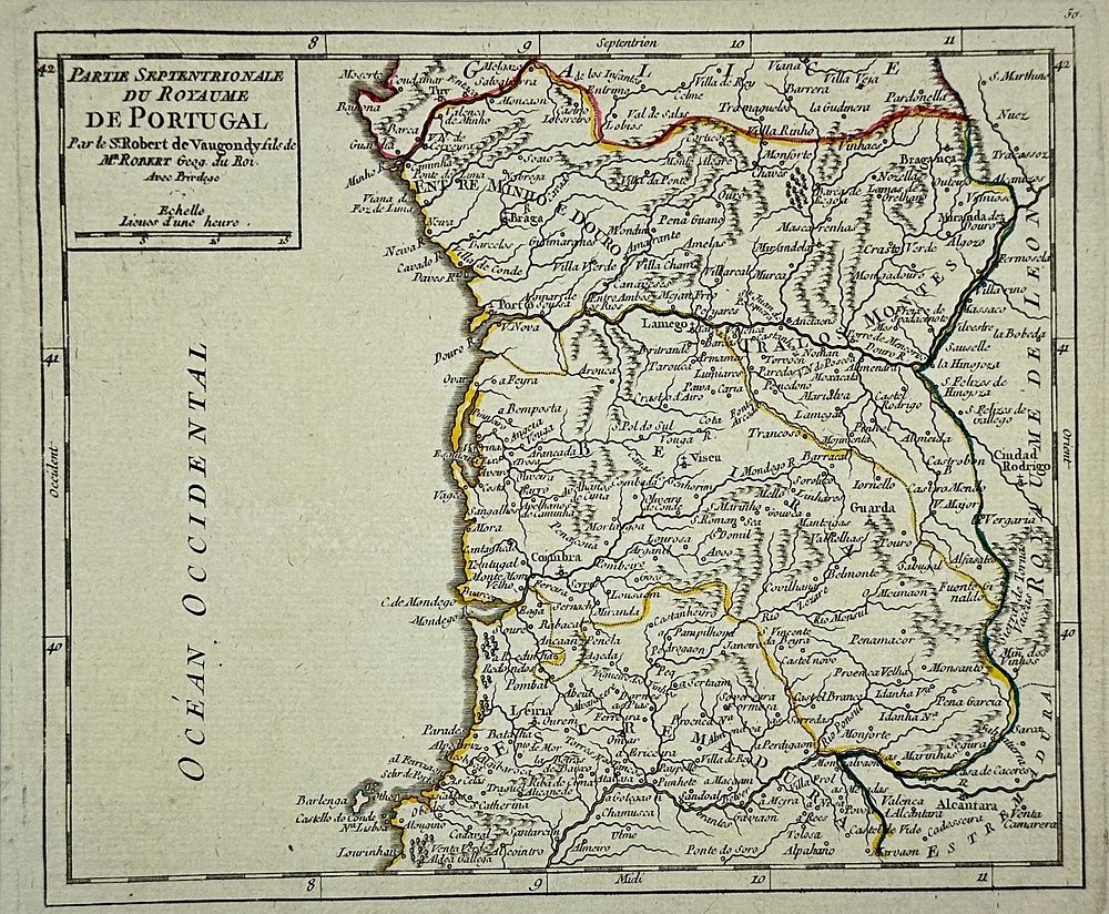
Didier Robert de Vaugondy (1723-1786) - Northern Part of the Kingdom of Portugal / Partie Septentrionale Du Royaume De Portugal - Detailed map of the Northern part of Portugal, from De Vaugondy's Atlas Portatif. Didier Robert de Vaugondy (1723-1786) was a French cartographer and geographer, known for his detailed and accurate maps of the 18th century. He was the son of Gilles Robert de Vaugondy, also a prominent mapmaker, and continued the family tradition of producing high-quality maps and atlases. His most notable work, Atlas Universel (1757), was highly regarded for its precision and elegant engraving. As the official geographer to King Louis XV, Didier Robert de Vaugondy played a key role in advancing cartography during the Enlightenment period. Dimensions 15 cm x 20 cm Artist or Maker Didier Robert de Vaugondy Medium Engraving Date 1749