Bidspirit auction | Tobias Konrad Lotter / Matthäus
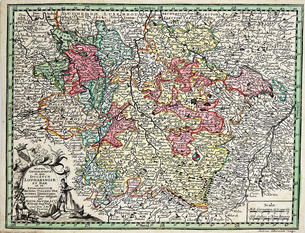
Tobias Konrad Lotter / Matthäus Seutter - Hand-coloured map of Duchy of Lorraine - Ducatus Lotharingiae - France - Germany - Italy - Antique and original engraving depicting the geographical map of Alsace on the border between France and Germany. Inserted in the work ”Atlas Minor praecipua Orbis Terrarum Imperia Regna et Provincias Germaniae Potissimum” by Conrad Lotter, published by Matthäus Seutter in or around 1750. Conrad Lotter (1698–1779) was a German engraver, cartographer, and publisher. He was a prominent figure in the 18th century and is known for his detailed maps and engravings. Lotter was part of the famous Nuremberg school of mapmakers, and he worked with his brother-in-law, the renowned mapmaker Johann Baptist Homann. Lotter's work often involved topographical and geographical maps, as well as illustrations of historical events and cities. His engravings were widely distributed throughout Europe, contributing to the development of cartography and visual documentation during his time.