Bidspirit auction | Nicolas Sanson - Map of
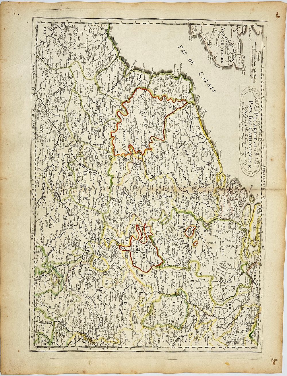
Nicolas Sanson - Map of Picardy and the Catholic Netherlands - Picardie et les Pays-Bas Catholiques - This historical map depicts Picardy and the Catholic Netherlands, highlighting their borders, cities, and geographical features. The Pas de Calais is prominently shown, along with parts of England across the sea. The map is engraved with fine details, including the names of towns, rivers, and regions. Hand-colored borders distinguish different territories, emphasizing political divisions of the time. The decorative cartouche in the upper section contains the title and credits, framed in a classical baroque design.Nicolas Sanson was a 17th-century French cartographer known as the ”father of French cartography.” He was a geographer to King Louis XIII and XIV, producing highly detailed and influential maps that shaped European mapmaking. His works emphasized accuracy and clarity, moving away from overly decorative elements in favor of functional geography.Artist or MakerNicolas SansonMediumengravingDate1657