Bidspirit auction | Robert de Vaugondy (1688-1766) Poland
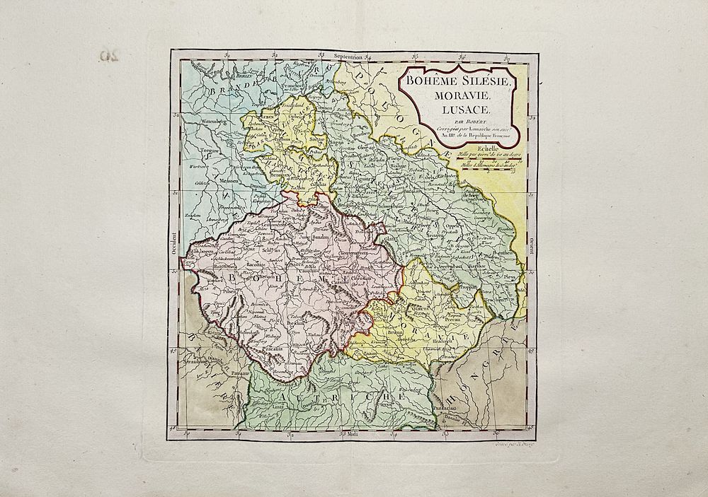
Robert de Vaugondy (1688-1766) Poland / Czechia (or Czech Republic) - Boheme - Silesie - Moravie - Lusace; Boheme Silesie, Moravie, Lusace - 1801-1820 - Boheme Silesie, Moravie, Lusace Hand-coloured copper-engraved map by Robert de Vaugondy on the Mercator projection. Derived from ”Nouvel Atlas Portatif destine principalement pour l'instruction de la Jeunesse” or (”A New Portable Atlas Designed Primarily for the Instruction of Youth”). With original outline color showing the territories associated with the four major world religions: Christianity, Islam, Judaism and Paganism. Attractive cartography reflects the latest discoveries of explorers of the late 18th century. Gilles Robert de Vaugondy (1688-1766) was a French cartographer known for producing highly detailed and accurate maps during the 18th century. He inherited and refined earlier cartographic works, incorporating the latest geographical discoveries. His most famous work, Atlas Universel (1757), was widely respected for its precision and artistic quality. Vaugondy’s contributions significantly influenced European cartography, and his maps remained important references for many years. Artist or Maker: Robert de Vaugondy Medium: Copper Engraving Date: 1806