Bidspirit auction | Nicolas Sanson - Map of
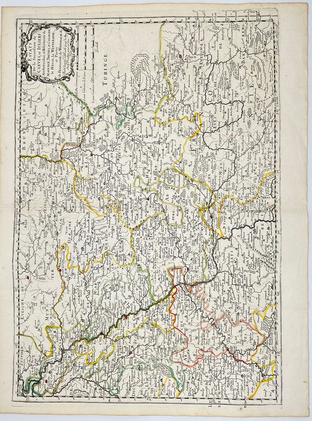
Nicolas Sanson - Map of Cleves and Jülich - Estats de la Succession de Cleves et Juliers - The Holy Roman Empire - This antique map, created in 1648, represents the territories of Cleves and Jülich, along with the archbishoprics and electorates of Mainz, Trier, and Cologne. It also includes parts of Hesse, Wetterau, Franconia, and Westphalia. The cartouche is ornately decorated, typical of 17th-century maps, framing the title in an elaborate baroque style. The map reflects the political landscape of the Holy Roman Empire during the period, highlighting territorial claims and administrative divisions. Nicolas Sanson was a 17th-century French cartographer often regarded as the father of French cartography. He revolutionized mapmaking by emphasizing scientific accuracy over decorative embellishments. His maps were widely used by European monarchs and scholars, and he served as the official geographer to King Louis XIII. His work laid the foundation for France’s dominance in cartography during the 17th and 18th centuries. Artist or Maker: Nicolas Sanson Medium: Engraving Date: 1648