Bidspirit auction | The ”John and William's” transatlantic
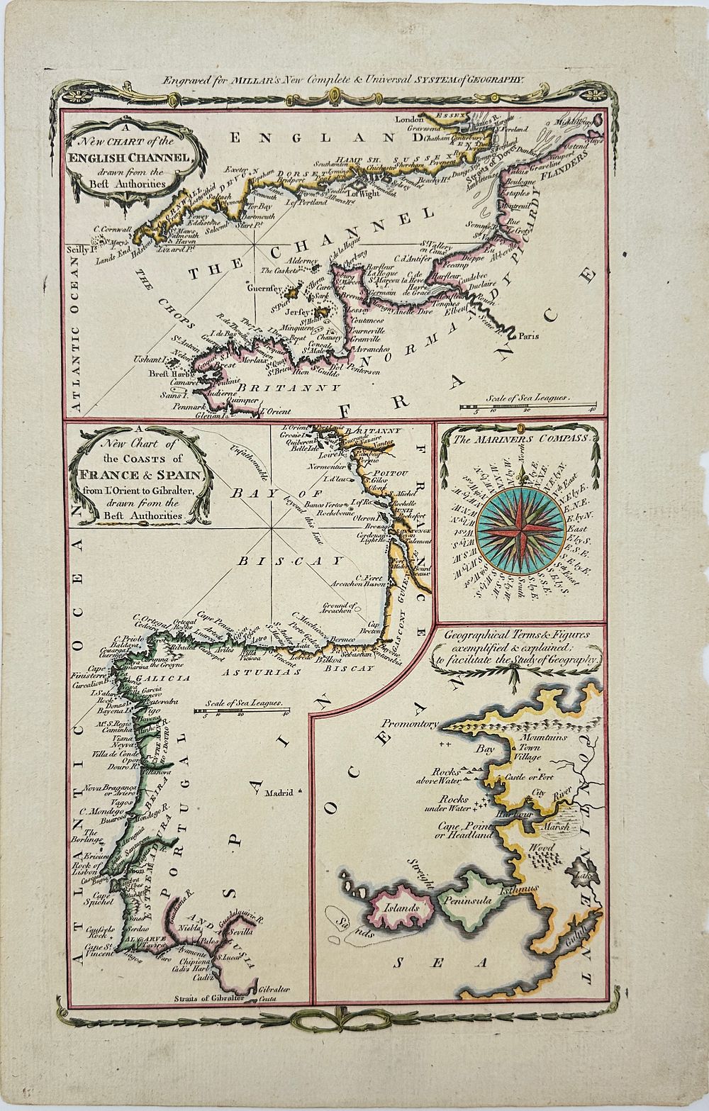
The ”John and William's” transatlantic crossing began from Dover - Map of the English Channel - Engraving on paper - 19th - A Map of the English Channel (Top Portion) - A historical nautical chart illustrating the upper section of the English Channel. This map shows key coastal features, ports, and navigational details. Dover, located in the top right corner, marks the departure point for the transatlantic journey of the ”John and William, ” providing a glimpse into historic maritime routes and early oceanic crossings.Likely a British or European cartographer, possibly linked to naval or commercial shipping enterprises of the era.Artist or Maker:British or European cartographerMedium:Engraving on paperDate:19th