Bidspirit auction | France - Map of France,
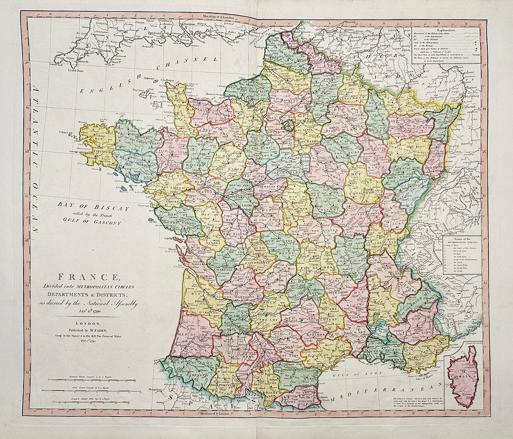
France - Map of France, with a small inset of the island of Corsica; William Faden (1750–1836) - France, Divided into Metropolitan Circles, Departments & Districts - 1781-1800 - ”France, Divided into Metropolitan Circles, Departments & Districts”Large, original antique map of France, with a small inset of the island of Corsica.This large folio map is from William Faden's A New General Atlas. The work was published by Faden in London circa 1808. The maps are dated between 1778 and 1808 by Faden, Laurie & Whittle, L.S. de La Rochette, Henry Roberts and others. Each engraving features original hand-colouring. The atlas featured hemispheric maps, a Mercator-projection world map, charts of numerous bodies of water, and a few exceptional large scale maps (Italy, Mediterranean).William Faden (1750–1836) was a British cartographer and engraver, renowned for his detailed maps and atlases during the late 18th and early 19th centuries. He served as Geographer to the King and is best known for producing maps that were highly regarded for their accuracy and quality, including military and colonial maps.Artist or Maker: William FadenDimensions:68 cm x 50 cm Medium: Copper engravingDate: 1792Condition Report:This work is in good condition overall, tears. There may be a few minor imperfections or fox or mottled marks to be expected with age. Please review the images carefully for condition details, and feel free to contact us with any questions or for a comprehensive condition report.