Bidspirit auction | Georges-Louis Le Rouge (fl. 1740–1780)
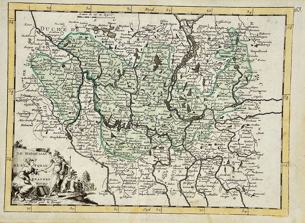
Georges-Louis Le Rouge (fl. 1740–1780) – ”Le Marquisat et Electorat de Brandenbourg” – Hand-Coloured Copperplate Engraving (1748) - This intricately engraved 18th-century map by Georges-Louis Le Rouge showcases the Marquisate and Electorate of Brandenburg, a historical region in modern-day Germany centered around Berlin. Dated 1748, the map is hand-coloured and features extraordinary detail of rivers, towns, and borders, capturing the complex political geography of the Holy Roman Empire.In the lower left corner, the cartouche is elegantly illustrated with allegorical figures, classical symbols of wisdom, and sovereignty—hallmarks of Enlightenment-era cartographic art.Le Rouge, a prominent French cartographer and geographer to the King, produced numerous atlases and maps celebrated for their scientific precision and artistic refinement.Artist or Maker: Georges-Louis Le Rouge (fl. 1740-1780)Medium: Hand-coloured copperplate engravingDate: 1748Dimensions: 25 cm x 38 cmCondition Report:This work is in good condition overall. There may be a few minor imperfections or fox or mottled marks to be expected with age. Please review the images carefully for condition details, and feel free to contact us with any questions or for a comprehensive condition report.