Bidspirit auction | Erhard - World Map -
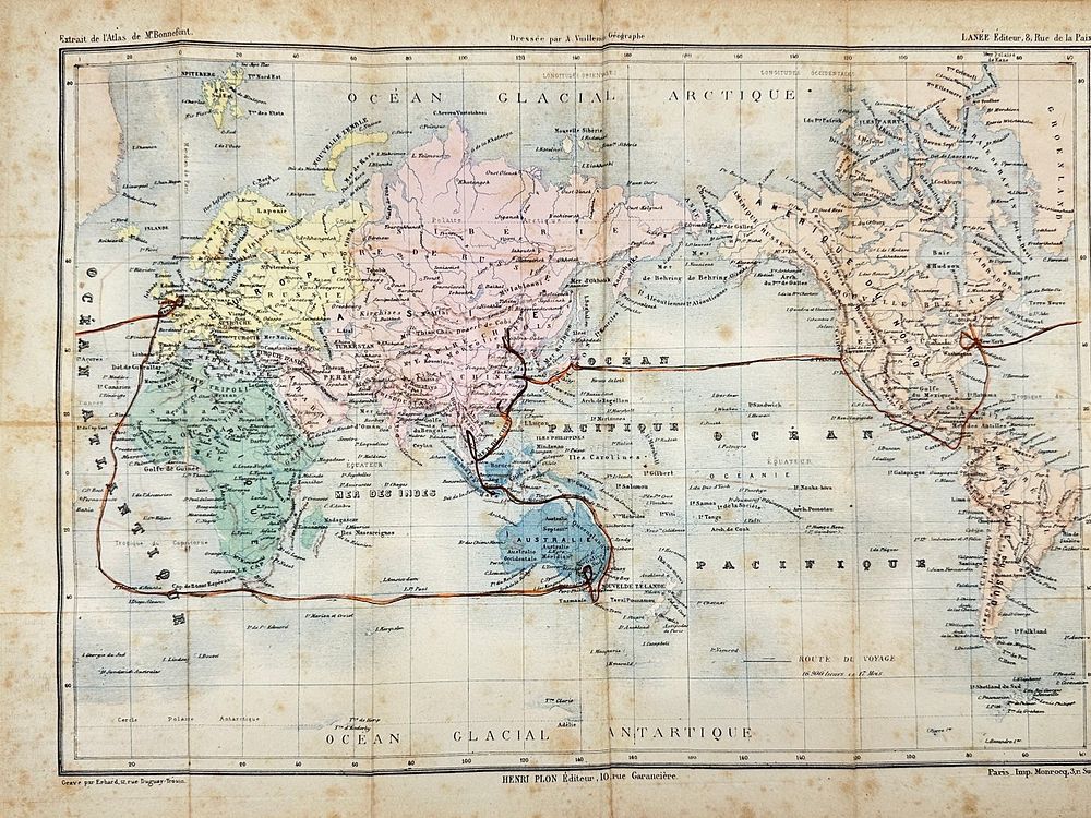
Erhard - World Map - Global view, highlighting major continents, oceans, and important travel or; Map of the World on Mercators Projection - 1881-1900 - Issued 1895, Paris by Plon & Co. Engraved by Erhard. Based on the Atlas map of Mr. Bonnefont, Tooley's Dictionary of Mapmakers. Uncommon late 19th century antique color lithographed map.This historical world map showcases major continents and oceans with detailed geographic and political divisions. It traces significant trade and exploration routes across the globe, particularly focusing on maritime connections between Europe, Africa, Asia, and the Americas. The map includes key annotations, shipping lines, and geographical markers such as the Arctic and Antarctic regions.Dimensions39 cm x 29 cmArtist or MakerErhardMediumLithographyDate1895Condition Report:This work is in good condition overall. There may be a few minor imperfections or fox or mottled marks to be expected with age. Please review the images carefully for condition details, and feel free to contact us with any questions or for a comprehensive condition report.