Bidspirit auction | Rigobert Bonne (1727–1795) – Map
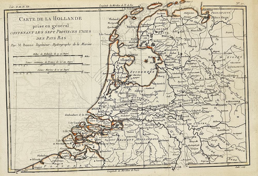
Rigobert Bonne (1727–1795) – Map of Holland / Carte de la Hollande contenant les sept Provinces Unies – Copperplate Engraving (1780) - ”Carte de la Hollande prise en général contenant les sept Provinces Unies des Pays Bas” Detailed copperplate map of the Netherlands showing the Seven United Provinces during the late 18th century. The map was drawn by Rigobert Bonne, chief hydrographer of the French Marine, and engraved by André. Includes scale bars in Dutch miles, common French leagues, and marine leagues. Longitude is marked according to the Paris meridian.Rigobert Bonne (1727–1795) was one of the most significant French cartographers of the 18th century. He succeeded Jacque-Nicolas Bellin as Royal Hydrographer at the Dépôt de la Marine. Bonne’s work is characterized by precision and clarity, contributing significantly to maritime and territorial cartography during the Enlightenment.Artist or Maker: Rigobert Bonne Dimensions: 25 cm x 36 cm Medium: Copperplate Engraving Date: 1780 Condition Report: This work is in good condition overall. There may be a few minor imperfections or fox or mottled marks to be expected with age. Please review the images carefully for condition details, and feel free to contact us with any questions or for a comprehensive condition report.