Bidspirit auction | Pieter Schenk (1660–1718) – Map
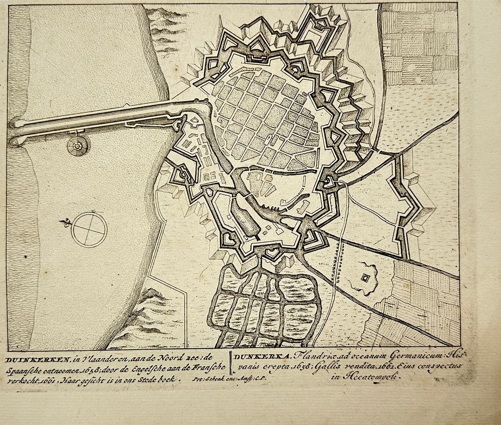
Pieter Schenk (1660–1718) – Map of the Bird’-Eye View of Dunkirk / Duinkerken – Dunkerka – Engraving (1710) - ”Duinkerken / Dunkerka”This engraved bird’-eye view depicts the fortified city of Dunkirk (Duinkerken / Dunkerka) on the North Sea coast of Flanders. The map illustrates the intricate bastion fortifications surrounding the city, the canal connection to the sea, and the regular grid layout of its urban center. The captions below reference key moments in the city’s history: its capture by the Spanish in 1658, its subsequent sale by the English to the French in 1661, and its strategic importance along the coast. This view appeared in the Hecatompolis, a city atlas published by Pieter Schenk around 1710.Pieter Schenk was a Dutch engraver, cartographer, and publisher active in Amsterdam and Leipzig. He is known for his detailed town plans, map engravings, and city views which were often compiled into atlases such as the Hecatompolis or Atlas Contractus. His works are notable for their clean linework and precision, offering valuable historical insight into the urban landscapes of early 18t-century Europe.Artist or Maker: Pieter Schenk Dimensions: 19 cm x 22 cm Medium: Engraving Date: 1710 Condition Report: This work is in good condition overall. There may be a few minor imperfections or fox or mottled marks to be expected with age. Please review the images carefully for condition details, and feel free to contact us with any questions or for a comprehensive condition report.