Bidspirit auction | Thomas Kitchin (1718–1784) – Map
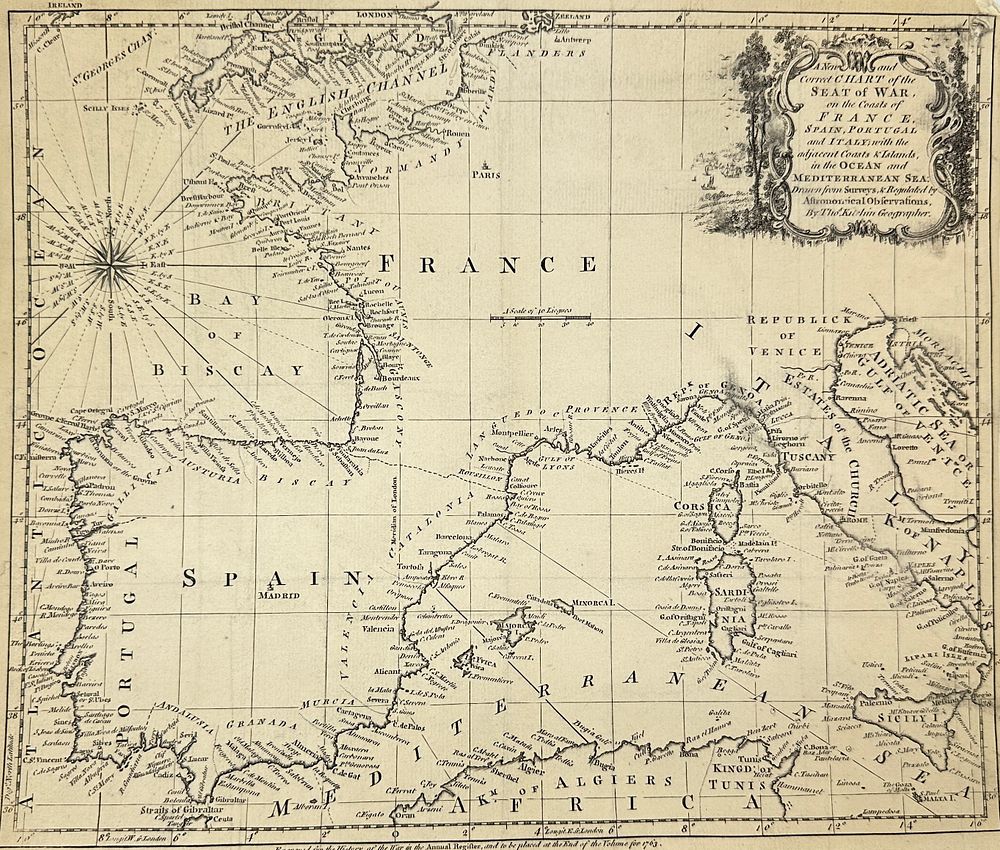
Thomas Kitchin (1718–1784) – Map of France, Spain, Portugal and Italy – Seat of War in the Ocean and Mediterranean Sea (1763) - ”A New and Correct Chart of the Seat of War on the Coasts of France, Spain, Portugal and Italy; with the adjacent Coasts ; Islands, in the Ocean and Mediterranean Sea”This historical map shows the maritime theaters of conflict in Western Europe during the Seven Years' War. It includes detailed coastlines, islands, and navigation routes spanning from England to the Mediterranean. The map was engraved for the Annual Register and designed to accompany the 1763 volume chronicling events of the war.Thomas Kitchin (1718–1784) was a prominent English engraver and cartographer, known for his detailed maps and atlases, many of which were published in association with authors like Thomas Salmon and Emanuel Bowen. He served as Hydrographer to the King and was one of the most prolific British mapmakers of the 18th century, recognized for his accuracy and decorative style.Artist or Maker:Thomas Kitchin Dimensions:26 cm x 30 cm Medium: Copperplate engraving Date:1763 Condition Report: This work is in good condition overall. There may be a few minor imperfections or fox or mottled marks to be expected with age. Please review the images carefully for condition details, and feel free to contact us with any questions or for a comprehensive condition report.