Bidspirit auction | Nicolas Sanson le Fils (17th
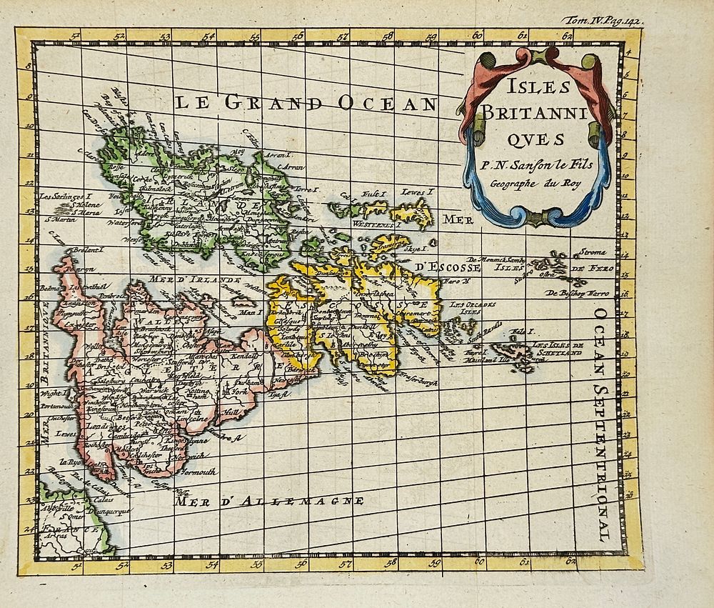
Nicolas Sanson le Fils (17th century) – Map of the British Isles / Isles Britanniques – Hand-Colored Copperplate Engraving - The map shows the British Isles, including England, Scotland, Ireland, and part of the western coast of Europe. It features detailed place names, rivers, and coastlines, with hand-colored territorial divisions. The title cartouche reads ”Isles Britanniques” and identifies the author as ”P.N. Sanson le Fils, Géographe du Roy”. This engraving was published as part of a French atlas and appears on page 492 of volume IV, as noted in the upper margin.Nicolas Sanson le Fils was a member of the distinguished Sanson family of cartographers, who were instrumental in establishing France as a center of mapmaking in the 17th century. As the son of Nicolas Sanson, considered the founder of French cartography, he continued the family’s legacy of scientific and classical map production for royal and academic audiences.Artist or Maker: Nicolas Sanson le FilsDimensions: 19 cm x 17 cmMedium: Hand-Colored Copperplate EngravingDate: Late 17th CenturyCondition Report:This work is in good condition overall. There may be a few minor imperfections or fox or mottled marks to be expected with age. Please review the images carefully for condition details, and feel free to contact us with any questions or for a comprehensive condition report.