Bidspirit auction | Henry Roberts – Large Map
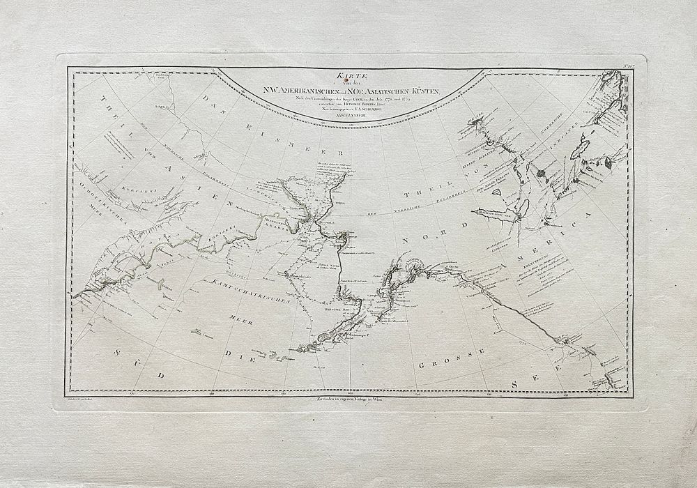
Henry Roberts – Large Map of the North American and North-East Asian Coasts / Karte von den N.W. Amerikanischen und N.O. Asiatischen Küsten – London/Vienna (1785) - This large and finely engraved map, titled Karte von den N.W. Amerikanischen und N.O. Asiatischen Küsten, documents the explorations of Captain James Cook’s third voyage between 1777 and 1779. Compiled by Henry Roberts, a lieutenant aboard Cook’s ship and one of his most trusted cartographers, the map was later published in Vienna. It provides a detailed depiction of the Bering Strait region, Alaska, and the far eastern coastlines of Asia, including Japan and Kamchatka, capturing the frontier of European exploration in the late 18th century.Henry Roberts (c.1756–1796) was a British Royal Navy officer and cartographer. As a close collaborator of Captain James Cook, he played a vital role in documenting Cook’s expeditions. Roberts is noted for his accuracy and clarity in mapmaking, and his work continues to be of historical importance in the history of Pacific and Arctic exploration.Artist or Maker: Henry RobertsDimensions: 63 cm x 86 cmMedium: EngravingDate: 1785Condition Report:This work is in good condition overall. There may be a few minor imperfections or fox or mottled marks to be expected with age. Please review the images carefully for condition details, and feel free to contact us with any questions or for a comprehensive condition report.