Bidspirit auction | Alfred Castaigne – Map of
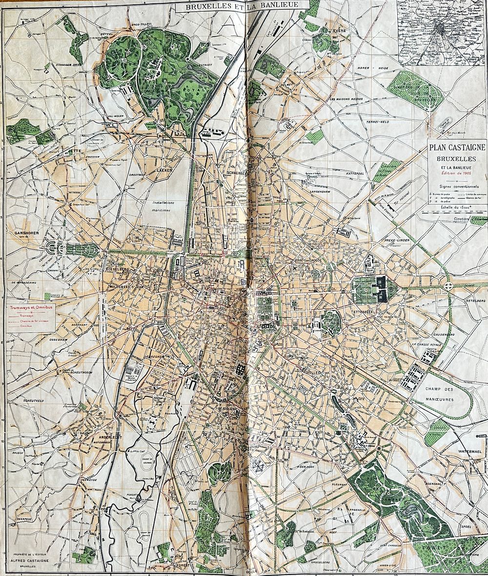
Alfred Castaigne – Map of Brussels and its Suburbs / Plan Castaigne Bruxelles et la Banlieue – Hand-Colored Printed Map (1905) - This detailed city plan of Brussels and its surroundings, titled ”Plan Castaigne Bruxelles et la Banlieue, ” was created by Alfred Castaigne and published in 1905. The map presents a comprehensive street layout of the Belgian capital and its urban periphery, rendered with precise typographic labeling and colored zones for parks, tramways, and railway lines. The edition is enriched by a street index and a small inset map for additional reference.Alfred Castaigne was known for his early 20th-century cartographic work, especially urban plans that served as essential guides for city navigation before the digital era. His work is valued for its clarity and fine lithographic execution.Artist or Maker: Alfred CastaigneDimensions: 70 cm x 60 cmMedium: Hand-colored printed mapDate: 1905Condition Report:This work is in good condition overall. There may be a few minor imperfections or fox or mottled marks to be expected with age. Please review the images carefully for condition details, and feel free to contact us with any questions or for a comprehensive condition report.