Bidspirit auction | Claes Jansz II Visscher, map
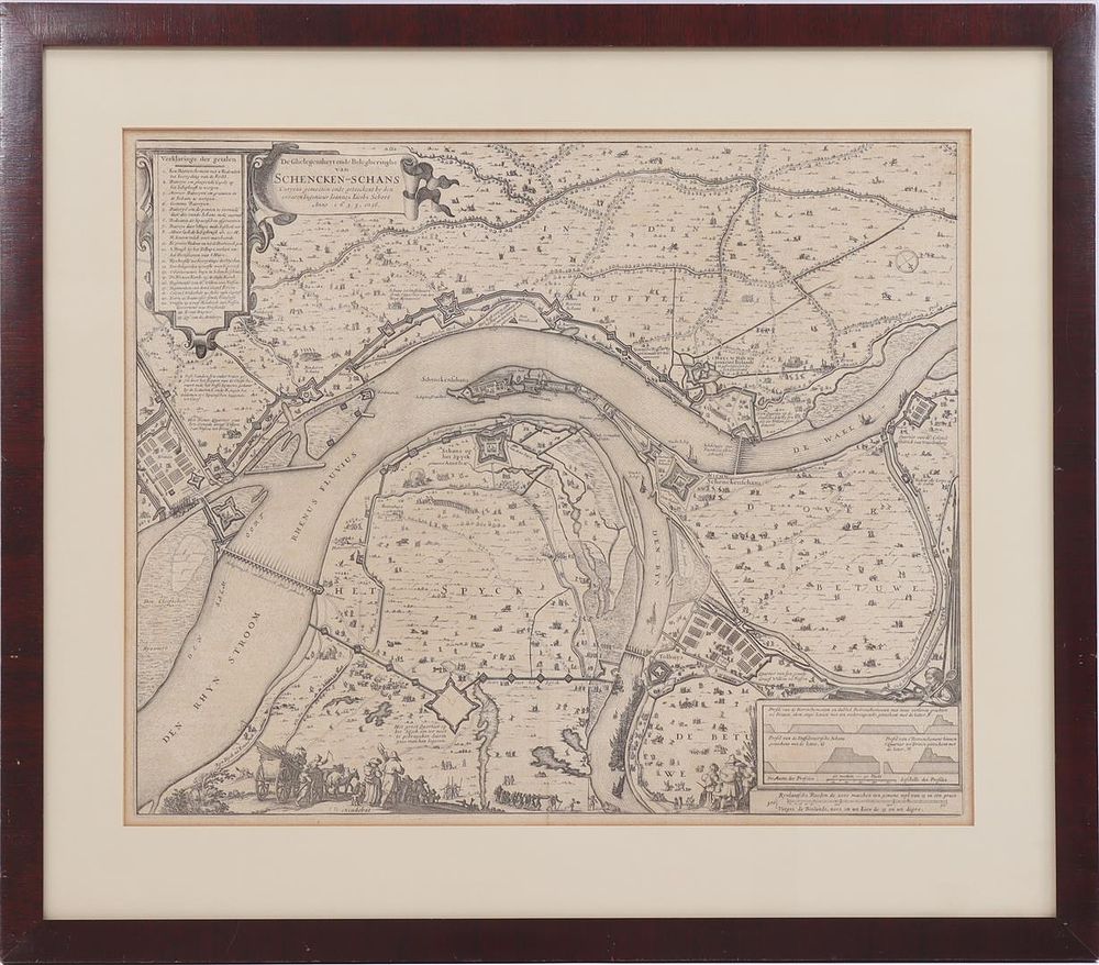
Claes Jansz II Visscher, map - Claes Jansz II Visscher (1586-1652) Map showing the siege and conquest of Schenkenschans by Frederik Hendrik, 1635-1636. The location and siege of Schenkenschans were curiously measured and drawn by the experienced engineer Ioannes Iacobi Schort in 1635 and 36, printmaker Claes Jansz Visscher, cartographer Johannes Jacobus Schrot, publisher Johannes Willemszoon Blaeu, ca. 1650, 47x57 cm