Bidspirit auction | LADVOCAT (Jean-Baptiste) [pseud. VOSGIEN]. VOSGIEN.
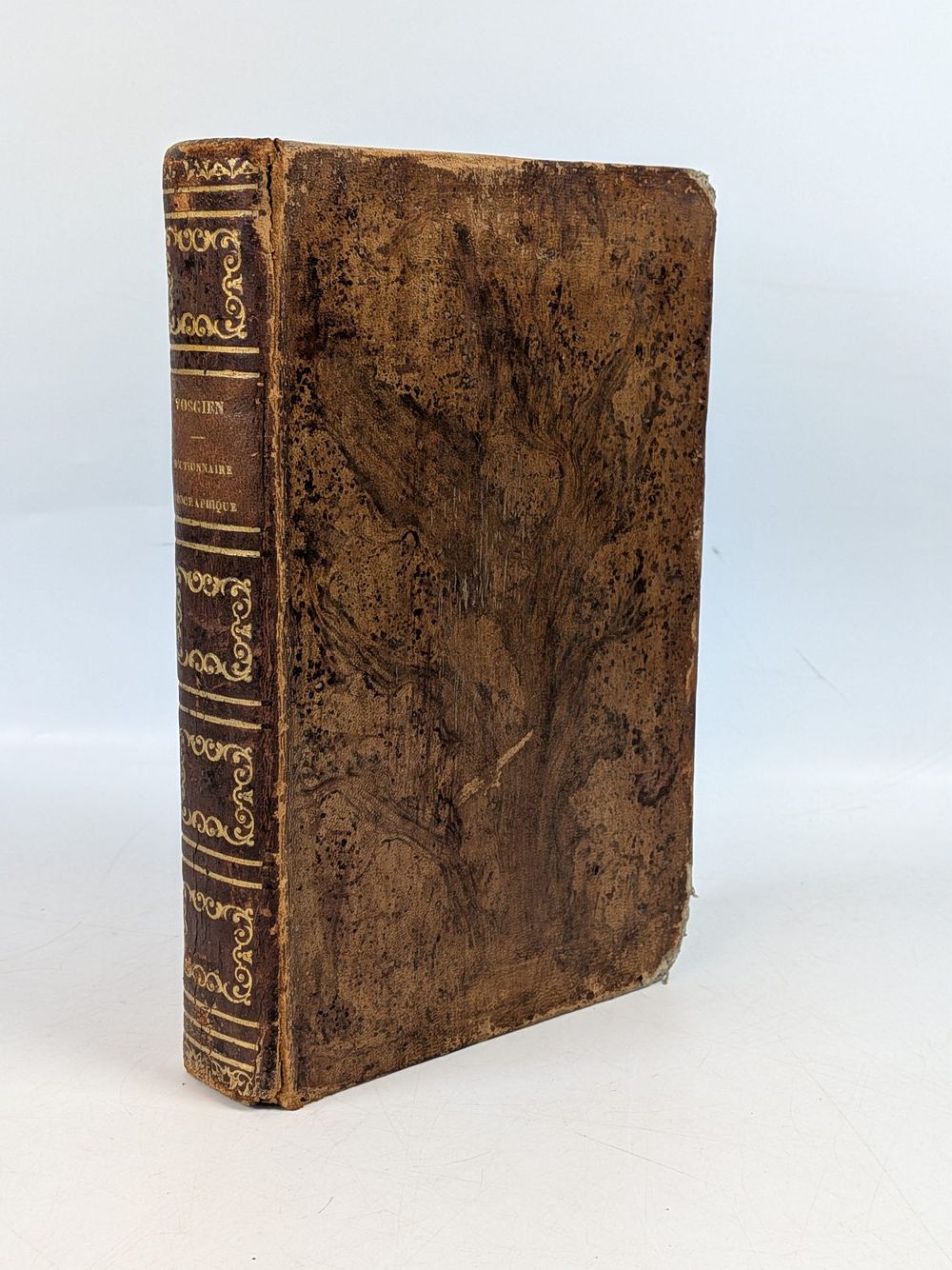
LADVOCAT (Jean-Baptiste) [pseud. VOSGIEN]. VOSGIEN. DICTIONNAIRE GÉOGRAPHIQUE UNIVERSEL DES CINQ PARTIES DU MONDE. Paris. s.d. [c. 1847-1850]. - LADVOCAT (Jean-Baptiste) [pseud. VOSGIEN] VOSGIEN. DICTIONNAIRE GÉOGRAPHIQUE UNIVERSEL DES CINQ PARTIES DU MONDE . Revu avec soin et rectifié sur les meilleurs ouvrages de géographie récemment publiés, et particulièrement sur le savant ouvrage de M. Balbi; contenant en abrégé la description générale et particulière des Empires, Royaumes, États, Provinces, Villes, Bourgs et Villages principaux du Globe [...]. Et pour la France les anciennes Dénominations des Provinces; les nouvelles Divisions administratives [...]; Toutes les Foires; précédé d'un Précis de Géographie ou Aperçu de l'État physique du Monde. Par M. F. Lallement. Avec 9 cartes dressées sur les grandes cartes du Dépôt de la Guerre par M. Desmarets, et gravées sur acier par M. P. Tardieu. Sixième édition, revue, corrigée et augmentée d'un tableau comparatif des monnaies étrangères aux monnaies françaises. Paris: Eugène et Victor Penaud Frères, Éditeurs, s.d. [c. 1847-1850]. xxiv, 690 pp., 8 mapas desdobráveis: il.; 215 mm. Jean-Baptiste Ladvocat (Vaucouleurs, 1709 – Paris, 1765), abbot, Hebraist, and lexicographer, published in 1747 under the pseudonym ”Vosgien” a portable geographical dictionary inspired by the ”Gazetteer” of the Englishman Laurence Echard, which quickly became a popular reference work in France. Successively expanded and revised by different authors, it went through several editions throughout the 19th century, augmented with the advances in geographical science. This 6th edition, revised by MF Lallement and enriched with contributions from the work of Adriano Balbi, includes a précis of the physical geography of the world and is illustrated with maps engraved in steel by P. Tardieu based on the maps of the Dépôt de la Guerre. Although the frontispiece announces 9 maps, there are actually 8, since the ”Amérique Méridionale” and ”Amérique Septentrionale” are combined on a single fold-out sheet. The map index is as follows: World Map; France; Europe; Asia; Africa; America; Oceania; and Map of French and foreign coins — the latter including a representation of the Portuguese coin. The text runs in two columns. Published by the Parisian publishers Eugène and Victor Penaud Frères without indication of date, datable c. 1847–1850. ⚑ Auto-translated via Google Translate