Bidspirit auction | NEBENZAHL (Kenneth). ATLAS de Christophe
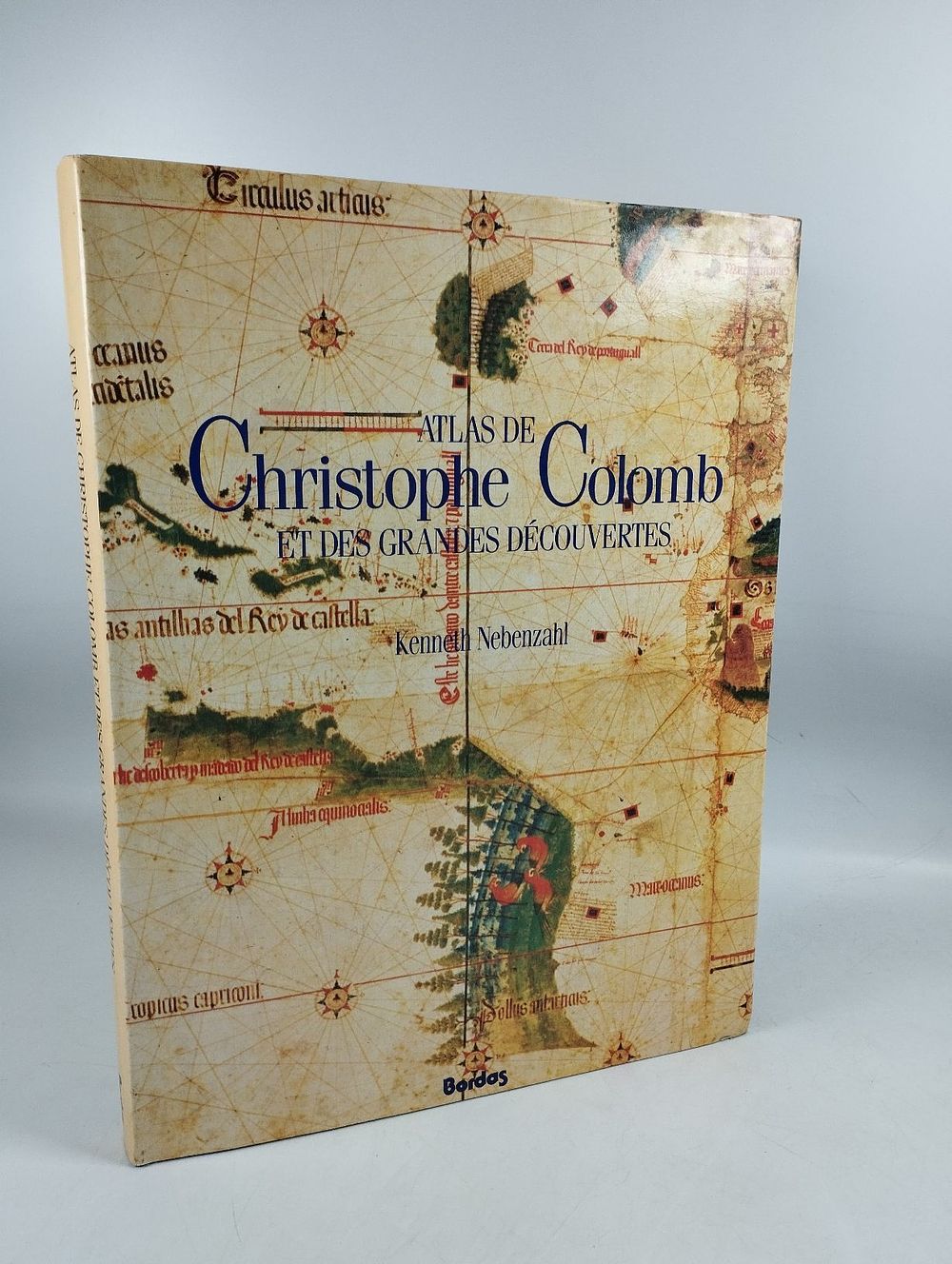
NEBENZAHL (Kenneth). ATLAS de Christophe Colomb et des Grandes Découvertes. Paris. 1991. - NEBENZAHL (Kenneth) ATLAS de Christophe Colomb et des Grandes Découvertes . Tradução francesa por Anne Marie Terel. Paris: Bordas, 1991. 176 pp.: il.; 375 mm. First French edition of this work by the cartography historian Kenneth Nebenzahl, originally published in English by Rand McNally in 1990, in anticipation of the commemorations of the fifth centenary of Christopher Columbus's first voyage (1492-1992). This volume brings together, in over one hundred color reproductions, a selection of the most significant maps from the 15th and 16th centuries that document the period of the Great Discoveries, organized into four chronological parts: the maps and portolan charts that may have influenced Columbus's preparation for his first voyage; the maps of his contemporaries, including the famous 1507 map of the world by Martin Waldseemüller; maps of the great discoveries of the first half of the 16th century, with particular emphasis on the maps of Magellan's expedition by Antonio Pigafetta; Finally, the cartographic innovations of the second half of the century are presented, beginning with the Mercator projection of 1569. Among the reproduced documents are Martin Behaim's globe (1492), the Cantino planisphere (1502), the ocean map by the Turkish cartographer Piri Re'is (1513), the map of the Gulf of Mexico by Hernando Cortés (1524), and Abraham Ortelius's carta-mundi (1564). Each map is accompanied by commentary from the author, one of the most renowned specialists in ancient historical cartography. Curious. ⚑ Auto-translated via Google Translate