Bidspirit auction | TEIXEIRA ALBERNAZ (João), o Velho.
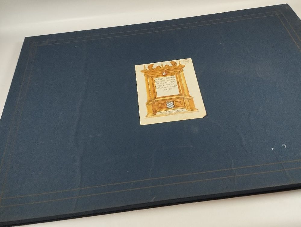
TEIXEIRA ALBERNAZ (João), o Velho. ATLAS do Estado do Brasil, Coligido das Mais Certas Notícias que pode Ajuntar Dom Jerónimo de Ataíde. Rio de Janeiro. 1997. - TEIXEIRA ALBERNAZ (João), o Velho ATLAS do Estado do Brasil, Coligido das Mais Certas Notícias que pode Ajuntar Dom Jerónimo de Ataíde . Por João Teixeira Albernaz, Cosmógrafo de Sua Majestade, Anno 1631. Edição fac-similada do manuscrito da Mapoteca do Itamaraty (Ministério das Relações Exteriores do Brasil, Rio de Janeiro). Texto de Maria Clara Mariani; projecto e reprodução fotográfica de Humberto Moraes Franceschi. Rio de Janeiro: Editora Nova Fronteira S.A., 1997. [4] ff., 36 gravs.; 640×410 mm. Complete facsimile edition of the 1631 manuscript atlas, kept in the Map Library of Itamaraty (Brazilian Ministry of Foreign Affairs, Rio de Janeiro), reproduced in color with the authorization of that Ministry for Banco BBM SA. The original maps, watercolored on rag paper, are 68 × 44 cm in size. João Teixeira Albernaz I (Lisbon, c. 1575 - c. 1662), the most prolific Portuguese cartographer of the 17th century, belonged to a prominent family of cartographers: he was the son of Luís Teixeira, brother of Pedro Teixeira Albernaz, and grandfather of João Teixeira Albernaz II. The family extended its activity from the mid-15th century to the late 18th century. Albernaz I obtained his Letter of Office on October 29, 1602, examined by the Chief Cosmographer João Baptista Lavanha, and was appointed cartographer of the Casa da Mina e Índia in 1605. He is the author of nineteen atlases and two hundred and fifteen maps, with a particular focus on Brazil. The Atlas of the State of Brazil of 1631 was commissioned by D. Jerónimo de Ataíde, grantee of the Captaincy of Ilhéus, with the purpose of attracting investments to his captaincy and alerting the Portuguese nobility to the vast expanse of land threatened by depopulation and increasing Dutch pressure on the northeastern coast. The thirty-six maps cover Brazilian territory from the mouth of the Amazon to the estuary of the Rio de la Plata, representing the captaincies and their resources, with particular attention to the sugar industry and the demarcation lines between Portugal and Spain. Each map displays cartouches for legends and coats of arms of the grantees or the Crown that are left unfilled, giving the whole the character of an unfinished work of exceptional historical and iconographic interest. Estimated. ⚑ Auto-translated via Google Translate