Bidspirit auction | ROTEIRO de todos os Sinais,
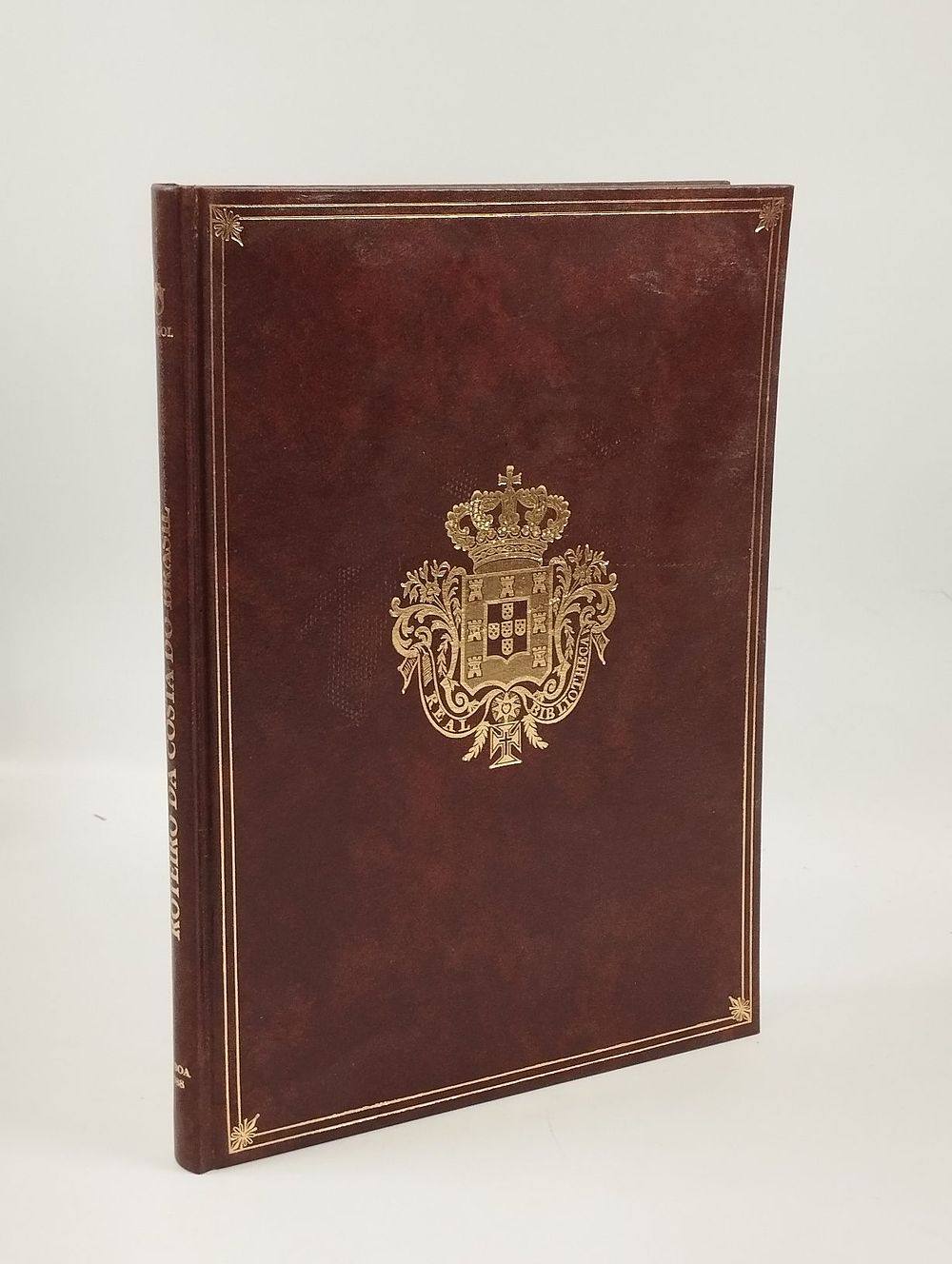
ROTEIRO de todos os Sinais, Conhecimentos, Fundos, Baixos, Alturas, e Derrotas que há na Costa do Brasil desde o Cabo de Santo Agostinho até ao Estreito de Fernão de Magalhães. Lisboa. 1988. - ROTEIRO de todos os Sinais, Conhecimentos, Fundos, Baixos, Alturas, e Derrotas que há na Costa do Brasil desde o Cabo de Santo Agostinho até ao Estreito de Fernão de Magalhães . Edição Fac-Similada do Manuscrito da Biblioteca da Ajuda. Leitura, Introdução e Notas de Melba Ferreira da Costa. Lisboa: Tagol, 1988. [7], 33, [20] ff., 1 mapa.: il.; 240 mm. Facsimile edition of the manuscript from the Ajuda Library, with reading, introduction and notes by Melba Ferreira da Costa, of the itinerary and atlas of the Brazilian coast attributed to the royal cosmographer Luís Teixeira, composed around 1574-1586. Considered the most detailed 16th-century cartographic representation of the Brazilian coastline, the work describes landmarks, depths, shallows, heights, and routes from Cabo de Santo Agostinho to the Strait of Fernão de Magalhães, including a map that also records the dividing line of the Treaty of Tordesillas between Portuguese and Spanish domains in South America. A fundamental cartographic source for the study of the Brazilian coast and Portuguese cartography of the 16th century, made available here in a facsimile faithful to the original. ⚑ Auto-translated via Google Translate