Bidspirit auction | The Land of Israel in
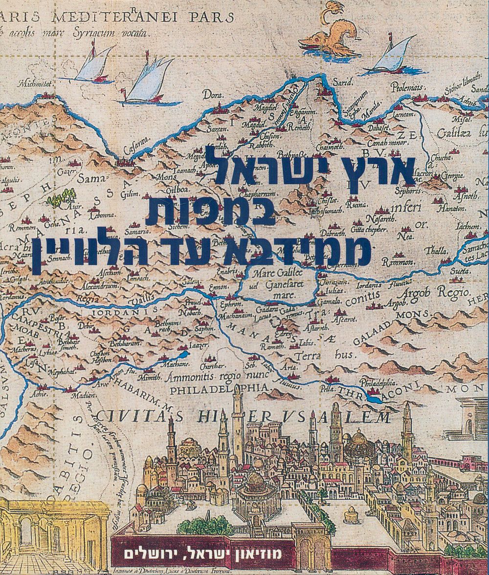
The Land of Israel in Maps – From Madaba to Satellite, Exhibition Catalogue, Israel Museum, 2001-2002 - A stunning exhibition catalogue tracing the mapping of the Land of Israel from ancient times to the satellite era, featuring a rich collection of rare and illustrated maps – from the Byzantine Madaba map to 20th-century cartography and modern satellite imagery. The book includes insightful essays on the history of mapping and high-quality reproductions of maps from the 15th to the 20th century. Technical details: • Publisher: Israel Museum, Jerusalem, 2001 • Binding: Hardcover with dust jacket • Pages: 178 • Size: 27.5 × 23.5 cm • Condition: As new