Bidspirit auction | Jerusalem in Maps and Views
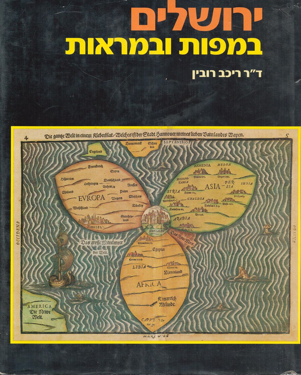
Jerusalem in Maps and Views – From the Byzantine Period to the 19th Century | Illustrated Reference Book, 1987 - A richly illustrated and scholarly volume tracing the visual and cartographic history of Jerusalem from the Byzantine era through the 19th century. The book presents Jerusalem as seen through historical maps, engravings, city plans, and panoramic views, reflecting how the Holy City was imagined and recorded by travelers, artists, and cartographers over more than a millennium. Includes numerous reproductions of rare and important maps, colorful engravings, architectural plans, and historical views, accompanied by detailed academic commentary in Hebrew. An essential reference work for collectors of antique maps, Jerusalem history enthusiasts, Judaica libraries, and researchers of historical cartography. Details: • Title: Jerusalem in Maps and Views – From the Byzantine Period to the 19th Century • Year: 1987 • Pages: 168 • Binding: Hardcover with original dust jacket • Size: approx. 33 × 24 cm • Weight: approx. 1.4 kg • Language: Hebrew • Illustrations: historical maps, engravings, city plans Condition: good