Bidspirit auction | 1950'S KARL SMITH LINWEAVE COLOR
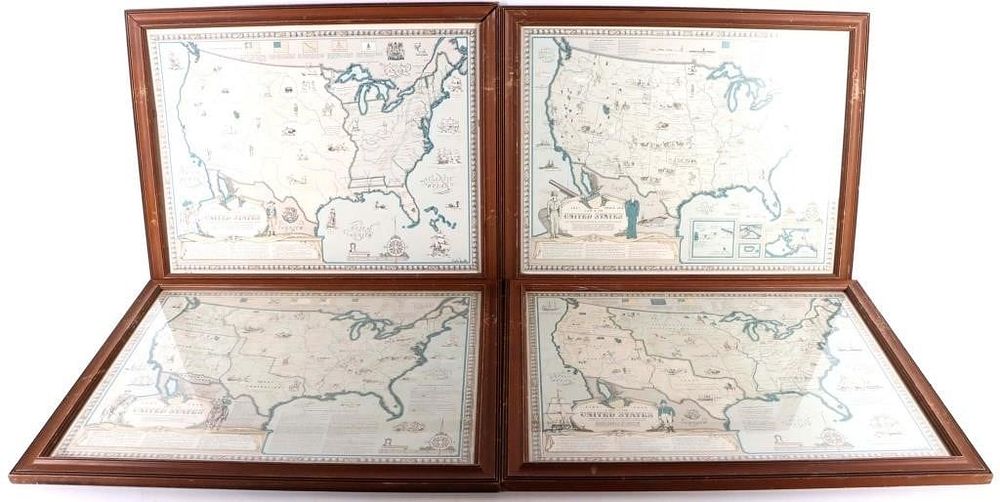
1950'S KARL SMITH LINWEAVE COLOR US MAPS - (4) - 1950's Karl Smith Linweave color cartography maps of the United States. Each map is slightly different with unique features and print. *MAP 1: US from 1492-1783 at the close of the Revolutionary War.*Map 2: US from 1784-1844 showing boundaries established after Louisiana Purchase.*Map 3: US from 1845-1866 showing boundaries at the close of the Civil War.*Map 4: US from 1867-1960 showing all present US land possessions. Maps are printed in 1957 in Springfield, Mass. Each map comes with it's own certificate of authenticity and frame. Size: 22.5 X 17.5” each Condition: Some frames are worn. One frame is missing glass.