Bidspirit auction | WWI - Three Large Military
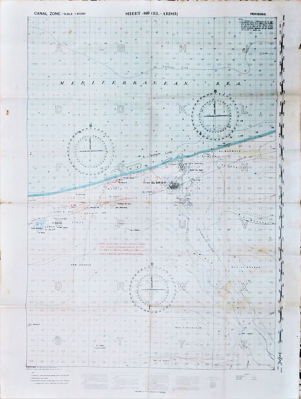
WWI - Three Large Military Maps – Egypt, Suez Canal Zone. Scale 1:40,000 | Egypt / Sinai Peninsula - A group of three original British military maps from the Canal Zone series, scale 1:40,000, produced during World War I as part of the military topographical survey of the Suez Canal area and the Sinai Peninsula. The maps depict key areas in northern Sinai and along the Suez Canal zone, including El Arish, Romani, Qatia, Rahama, and Bir el Mageibra, with a dense coordinate grid, detailed topographical markings, sand and dune areas, coastlines, roads, and settlements. Rare. The set comprises one complete sheet and two partially overlapping sheets (Parts of Sheets), all from the same series and at the same scale: El Arish (Sheet 040), marked as Temporary Issue / Provisional Parts of Sheets 005 & 006 – Romani & Qatia Parts of Sheets 012 & 013 – Rahama, Bir el Mageibra All maps bear the period military designation: “THIS MAP IS TO BE TREATED AS SECRET” Official printing by the Survey of Egypt / War Office, in accordance with British military standards of the period. Dimensions: Two maps: approx. 88 × 66 cm each One map: approx. 86 × 66 cm Condition: Good to very good for their age. Original longitudinal and transverse folds consistent with folded service maps, light age toning, storage marks, and moderate edge wear. No major damage. No clear evidence of active field use observed.