Bidspirit auction | Palestine – Map of the
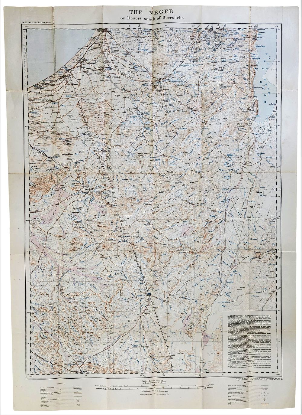
Palestine – Map of the Negeb | Palestine Exploration Fund | circa 1913 | 95×67 cm - A large and detailed historical map of the Negeb region, issued by the Palestine Exploration Fund, titled “The Negeb or Desert south of Beersheba.” This map represents one of the most significant early 20th-century survey maps of southern Palestine, based on systematic British field surveys conducted shortly before the First World War. The map presents extensive topographical detail, including roads and tracks, wadis and seasonal watercourses, wells and water sources, stations and settlements, elevation markings, contour lines, sandy areas, and desert zones. It includes a detailed legend, scale, coordinate grid, and explanatory texts addressing the geography, hydrology, routes, and local Bedouin population of the region. Technical and historical details Printed title: THE NEGEb or Desert south of Beersheba Survey and compilation: Captain S. F. Newcombe, R.E. Issued by: Palestine Exploration Fund Date: circa 1913 Technique: colour topographical printing (brown and blue) Format: original folding map, with the Fund’s plain paper cover Physical condition – current assessment The map is in good condition for its age. Clear and even fold lines consistent with original use and storage. Natural age toning with light foxing and minor time stains in several areas, more noticeable on the reverse. No significant tears or losses. The printing remains sharp and fully legible throughout. The cover shows light wear at the edges, consistent with age. Dimensions Approx. 95 × 67 cm (fully unfolded). General assessment An important research and collectors’ item, of considerable historical and geographical significance for the study of the Negeb and southern Palestine in the late Ottoman and early British survey period. Suitable for map collectors, institutional archives, and display.