Bidspirit auction | Eretz Israel | “Palestine of
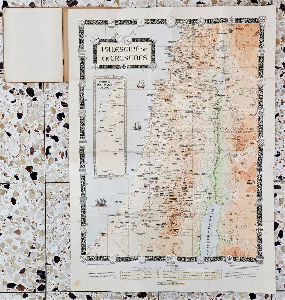
Eretz Israel | “Palestine of the Crusades” Map | Palestine Exploration Fund | early 20th century (circa 1913) | 76 × 54 cm - A large and highly detailed historical map of Eretz Israel, titled “Palestine of the Crusades”, published by the Palestine Exploration Fund as part of the Survey of Palestine series, early 20th century. The map is drawn at a scale of 1:350,000 and presents a cartographic reconstruction of the Crusader period, marking medieval towns, bishoprics, fortresses, roads, and territorial divisions. It includes a prominent inset map titled “Kingdom of Jerusalem”, along with heraldic Crusader-style decorative borders and vignettes. All text is in English. Technical details Dimensions: 76 × 54 cm Scale: 1:350,000 Period: Early 20th century (circa 1913) Publisher: Palestine Exploration Fund Language: English Format: Original folded printed map Physical condition Original paper. Period folding lines throughout, as issued. Light age-related toning, scattered minor foxing and staining, and mild edge and corner wear. No major tears or losses observed. Overall good condition relative to age and original use. Notes A desirable and decorative historical map for collectors of Eretz Israel cartography, Crusader-period studies, and early British scholarly mapping of the region. Suitable for framing after professional flattening.