Bidspirit auction | A 1720 MAP OF ENGLAND,
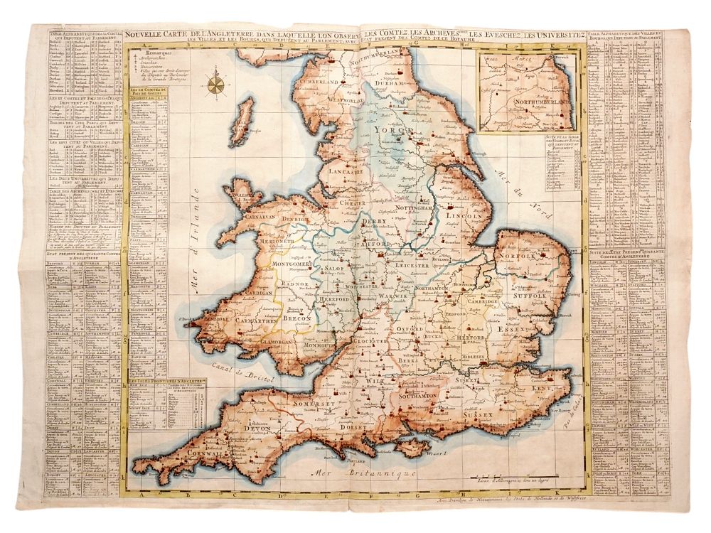
A 1720 MAP OF ENGLAND, HENRI CHATELAIN (1684-1743), FRENCH LANGUAGE, DUTCH PRINTING, HAND WATERCOLORED - A map of England and Wales printed in 1720 in The Netherlands. The map is surrounded by tables with information about the various districts of England, with statistics on the number of houses and parishes, the acreage and circumference, and the capital of each region. Cathedral cities, such as Norwich and Westminster, are all marked with simple crosses, while the seat of Archbishoprics, such as Canterbury and York, are marked with more ornate cross. This map was created by the French Huguenot cartographer Henri Chatelain (1684-1743) as part of his famous 'Atlas Historique'. Chatelain fled France to avoid persecution for his Huguenot beliefs and, after a period of frequent travel, settled in Amsterdam. The bottom of the map is captioned ”Avec Privilege de Nosseigneurs les Etats de Hollande et de Westfrieze” meaning ”With the privilege of the Lords of the States of Holland and West Frisia”. This map has been watercolor painted by hand, probably after its initial printing. The Netherlands, 1720. Please make all inquiries before bidding. All lots are sold ”as-is”, refer to our T&C. Helios Auctions does not ship in-house. A list of recommended shippers will be provided. Dimensions: 19 1/4 x 26 in., (48.9 x 66 cm.) Condition: Very good with light foxing consistent with age. Slight tear at bottom of central crease, no text impacted. Slight fraying at edge of paper in some places.