Bidspirit auction | AN 1809 MAP OF GERMANIA
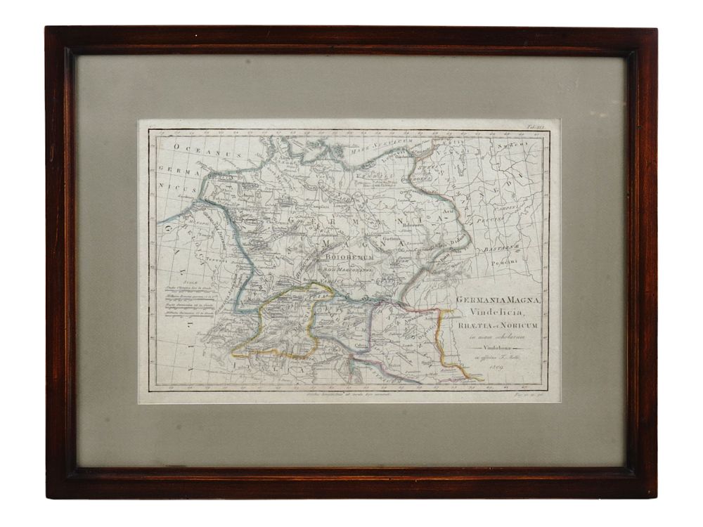
AN 1809 MAP OF GERMANIA MAGNA AS IT EXISTED IN THE ROMAN WORLD, VIENNA, AUSTRIA, FRAMED - This map depicts Greater Germany and its surrounding regions during the Roman Empire, post-Flavian Dynasty (68-96), written in Latin. The map was drafted 1809 by Tranquillo Maria Laurentio Mollo (1767-1837) in Vienna. It was intended for educational use in schools. Titled, signed, and dated in the bottom right corner: ”Germania Magna, Vindelicia, Rhaetia et Noricum in usum scholarum” (Greater Germany, Vindelicia, Rhaetia, and Noricum for use in school). Vienna, 1809. Please make all inquiries before bidding. All lots are sold ”as-is”, refer to our T&C. Helios Auctions does not ship in-house. A list of recommended shippers will be provided. Dimensions: 9 1/4 x 13 1/2 in., (23.5 x 34.3 cm.) Condition: Excellent condition.