Bidspirit auction | 1750S MAP WEST END OF
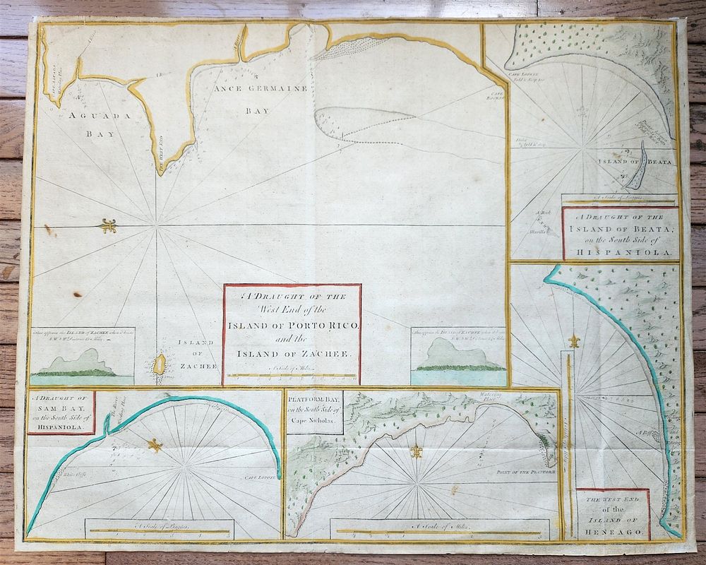
1750S MAP WEST END OF THE ISLE OF PORTO RICO & ISLAND OF ZACHEE ANTIQUE 19X24” - WEST END of the ISLE of PORTO RICO & the ISLAND of ZACHEE [1767] Hand colored The region of Aguada Bay where Columbus is said to have landed when he discovered Puerto Rico in 1493. The large insets include: A Draught of the Island of Beata, and the South Side of Hispaniola; A Draught of Sam Bay, and the South Side of Hispaniola; Platform Bay on the South Side of Cape Nicholas; The West End of the Island of Heneago. All charts have a scale of miles, a simple compass, soundings, and an indication of coastal topography. Size about 19 by 24 inches Very good condition, with folds 100% authentic. A remarkable collectible, offering historical significance and aesthetic appeal. Ideal for the discerning collector or as a unique display piece. Please make all inquiries before bidding. All lots are sold ”as-is”, refer to our T&C. Helios Auctions will ship all lots domestically for $25.00 per lot. Combined and international shipping are available. The rates will be provided upon request.