Bidspirit auction | Historical map of Thuringia --
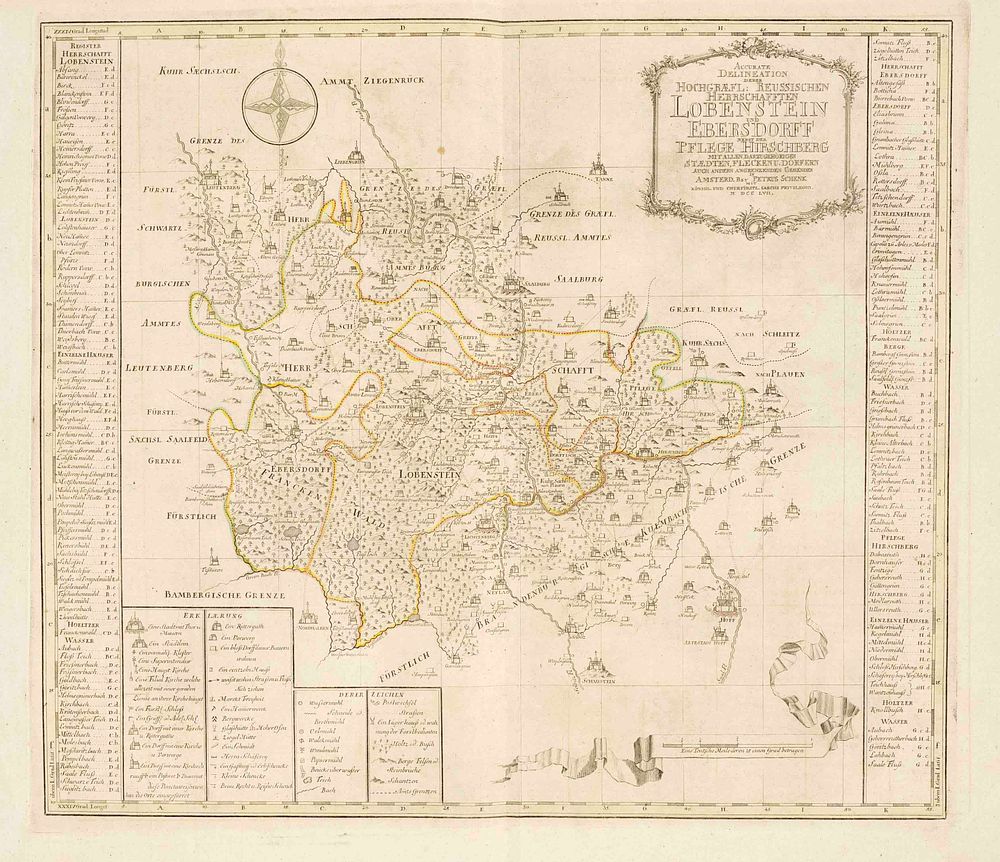
Historical map of Thuringia -- Lobenst - Historical map of Thuringia -- Lobenstein and Ebersdorf ''Accurate Delineation of the High Counts of Reuss, Lobenstein and Ebersdorf, together with the Hirschberg district,'' border-colored copperplate engraving by Schenk in Amsterdam, 1757, depiction of the area between Liebengrün in the north, Mißlareuth in the east, Schaustein in the south, and Leutenberg in the west, register on both sides, center fold, sheet size 53 x 65 cm