Bidspirit auction | Historical map of northwestern G
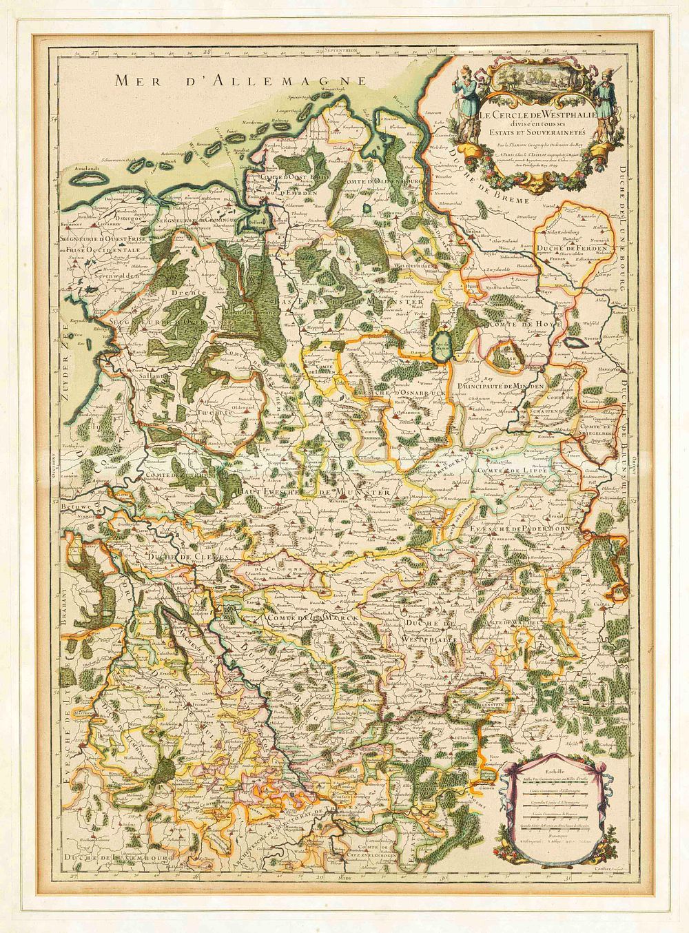
Historical map of northwestern G - Historical map of northwestern Germany including Westphalia up to the North Sea, ''Le Cercle de Westphalie divisé en tous ses Estats et Souverainetés...'', partially colored Copperplate map of the Westphalian Imperial Circle, Sanson after Jaillot in Paris, c. 1700, light edge, 66 x 47 cm, framed under glass and mat 84 x 63 cm