Bidspirit auction | Large Political Map of Europe
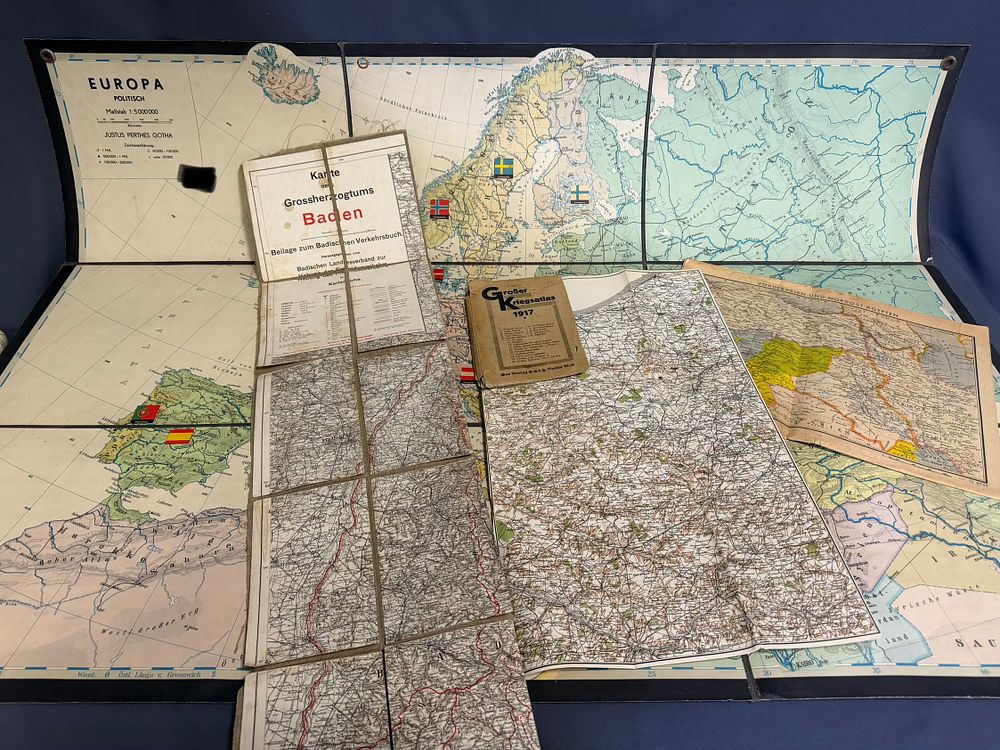
Large Political Map of Europe (April 1943): SS Main Office. - Collection: Historical Maps & Supplements (WWI – WWII) This collection comprises a rare selection of cartographic material from different eras of German history, from the time of the Grand Duchy of Baden to large-format political maps from 1943. Components of the collection: • Large Political Map of Europe (April 1943): • Published by the SS Main Office. • Scale 1:5,000,000, Publisher Justus Perthes Gotha. • Detailed representation of political borders and spheres of influence in the middle of World War II. • Map of the Grand Duchy of Baden (WWI Period): • Large-format, folded map mounted on linen/fabric. • Supplement to the Baden Travel Guide, published by the Baden State Association for the Promotion of Tourism in Karlsruhe. • Detailed representation of cities, transport routes, and topographical details of the region. • Map set ”France's Guilt” (Illustrierter Beobachter): • Contains thematic maps on: France (Scale 1:1,650,000), Mediterranean countries and the Danube region, as well as Near East and Northeast Egypt. Great War Atlas 1917: Published by Gea Verlag GmbH, Berlin. The atlas contains approx. 20 detailed maps of various theaters of war (e.g., Reims-Verdun, Dardanelles Strait, Caucasus Front, Romania, and maps of England and Paris). An authentic document on the military situation in the penultimate year of WWI. Condition II