Bidspirit auction | ORTELIUS, A. Typus Chorographicus, Celebrium
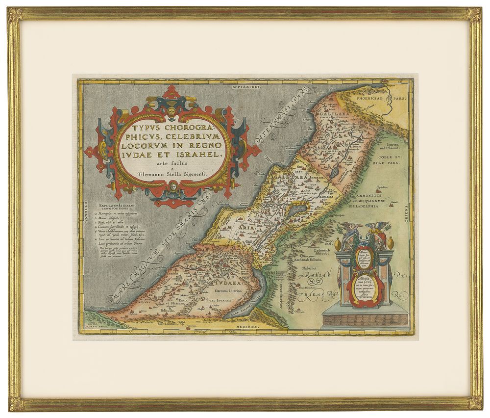
ORTELIUS, A. Typus Chorographicus, Celebrium Locorum In Regno Iudae et Israhel arte factus a Tilemanno Stella Sigenensi. Fine hand color; excellent condition. 13 7/8 x 18 inches. Finely framed. Laor, no. 546. [Antwerp, 1590]? Lavishly engraved map of the Holy Land divided into the kingdoms of Judah and Israel, with an unusually large cartouche. The map's place names and territorial divisions are those of Biblical times. Maps of ancient geography such as this one were conceived and drawn by Ortelius himself, unlike the ‘modern’ maps in his atlas. The shoreline on the map extends from Beirut to El-Arish; inland, Palestine is shown on both sides of the Jordan River, and the map extends as far south as the Dead Sea. The map bears a date of 1586 but was not published until 1590, suggesting that a great deal of time must have been devoted to its engraving.