Bidspirit auction | DE JODE, G. & C.
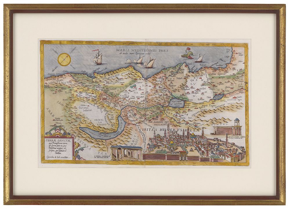
DE JODE, G. & C. Terrae Sanctae quae Promissionis terra, est Syriae pars ea, quae Palaestina uocator, desecriptio, per Tylmannu Stellam. Fine hand color; excellent condition. 12 x 19 3/4 inches. Finely framed. Laor, no. 375. [Antwerp, 1593]. A rare, pictorially rich map including a large view of contemporaneous Jerusalem. The map is after Tilemann Stella, who produced the most up-to-date map of the Holy Land available at the time, while the view is based on that of Fernando Bertelli, also then recently published. The De Jode family (Gerardus, the father, and Cornelis, the son) had the misfortune of attempting to compete in the atlas market with the formidable and well-connected Abraham Ortelius. The De Jodes were and are respected as mapmakers, as evidenced by this work based on then current sources, but they were no commercial match for Ortelius. They published a mere two editions of their atlas as opposed to approximately 40 by Ortelius. Hence, the considerable rarity of De Jode maps in today's market.