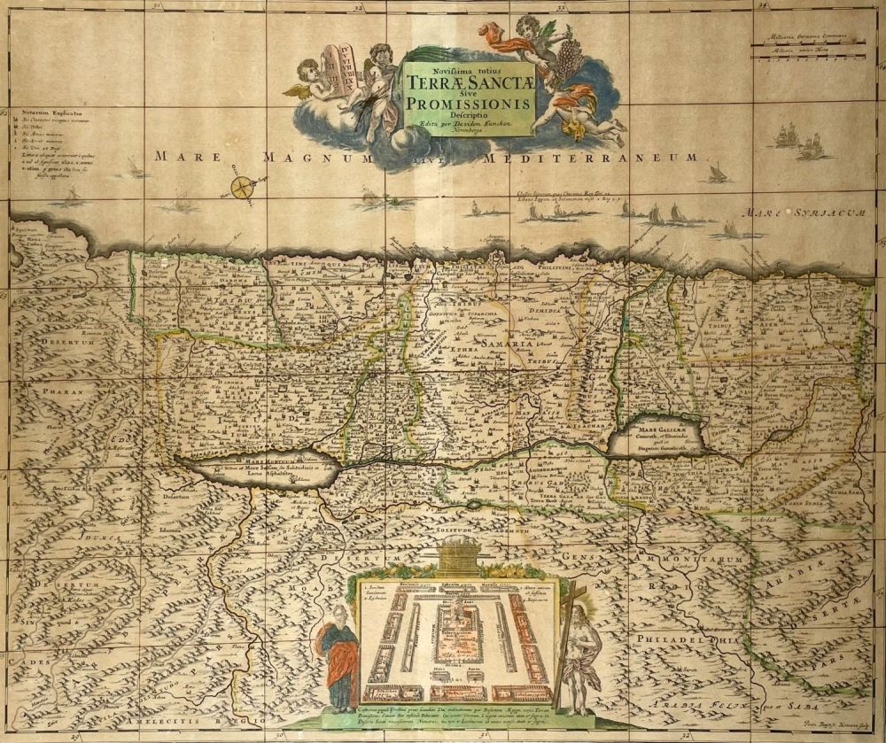
Bidspirit auction | Map of the Holy Land
Map of the Holy Land - Nuremburg - 1720 - Novissima totius Terrae Sanctae Sive Promissionis Descriptio. Edited by David Funck, Nuremburg. Hand tinted map of the Holy Land, divided according to the Tribes of Israel on both sides of River Jordan, and showing the sites of Palestine. The title cartouche at the top features four cherubs, one of which holds the the Ten Commandments. Apparently circa 1720. Approximately 53X61 cm. Good condition, stains, creases, enhanced on the back, apparently removed from its frame, wear.