Bidspirit auction | Chicago Sanborn-Perris Fire Insurance Map
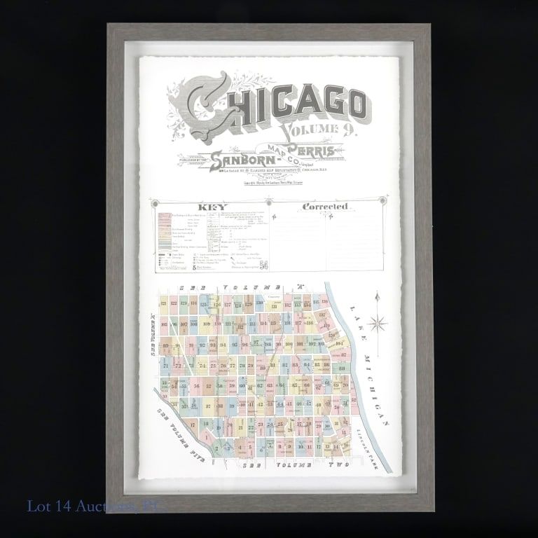
Chicago Sanborn-Perris Fire Insurance Map Print - Print of a 19th century map by the Sanborn-Perris Map Co. showing a small section of the city (Graceland to Dearborn, with Western on the left and the lake on the right) correlated with its fire insurance information. Different colors represent different materials buildings are made of, there are symbols for what amenities the building has (i.e. a chimney or a steam boiler), and plenty of other information. It sits inside a gray shadowbox-style frame, which measures approximately 16 x 24”.