Bidspirit auction | BOURGOIN & JOHN TALLIS MAPS:
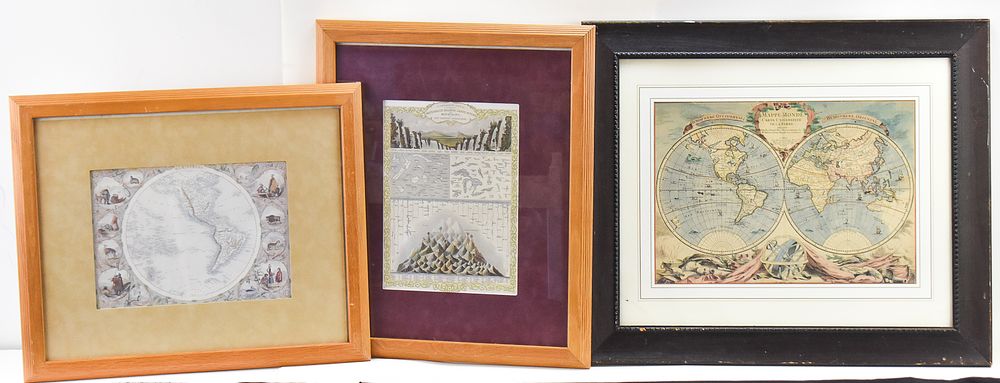
BOURGOIN & JOHN TALLIS MAPS: ”MAPPE MONDE”, ”WESTERN HEMISPHERE”, ”WATERFALLS...WESTERN HEMISPHERE” - Three contemporary maps including ”Mappe Monde” originally produced in 1750 by Bourgoin, ”Western Hemisphere” originally produced in 1850 by John Tallis, and ”A Comparative View of The Principal Waterfalls, Islands, Lakes, Rivers and Mountains in The Western Hemisphere” originally produced in 1851 by John Tallis. All three contemporary maps are framed. The largest map in the frame measures 22.5” H x 26.5” W x 1” D.