Bidspirit auction | COLLECTION OF EARLY MAPS OF
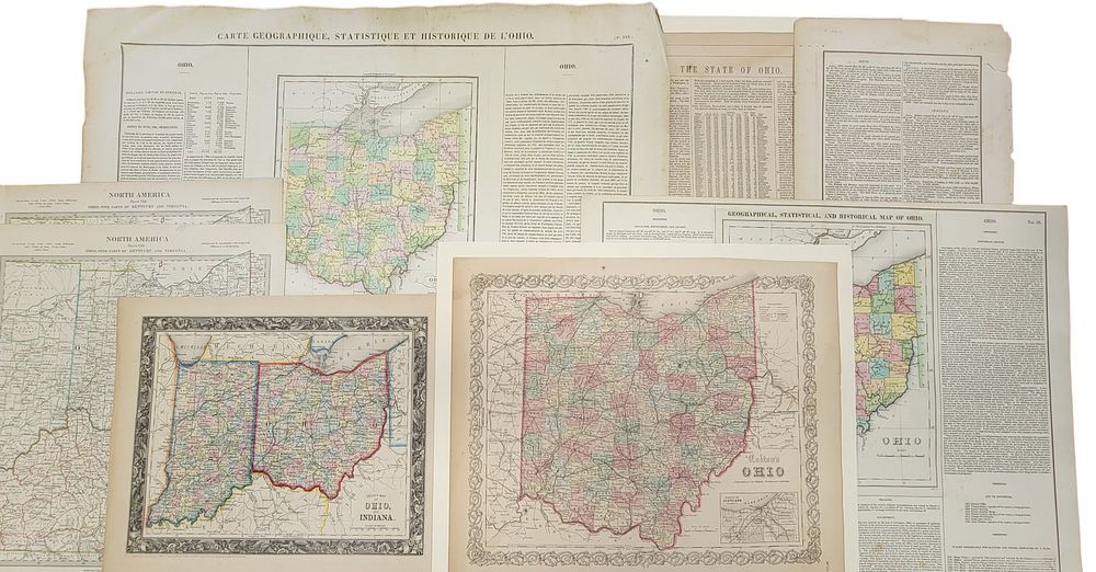
COLLECTION OF EARLY MAPS OF OHIO - ”North America Sheet VIII: Ohio, with Parts of Kentucky and Virginia, ” London: Baldwin and Gradock, 1833, 16.25” high, 13.5” wide (2 copies); ”Ohio, ” NY: Colton, 1855, 14.5” high, 18.5” wide; ”Geographical, Statistical, and Historical Map of Ohio, ” London: Carey and Lea, 1823, 18” high, 22” wide; ”County Map of Ohio and Indiana, ” Pennsylvania: SA Mitchell, 1860, 12.5” high, 15.5” wide; ”Carte Geographique, Statistique et Historique de L'Ohio, ” Le Sage, 1825 (the French version of the 1823 Carey and Lea map), 21” high, 27” wide; and two atlas information pages on Ohio. Provenance: a southeast Pennsylvania collection. NOTE: We are happy to answer questions and take additional photos of lots prior to the auction (the sooner submitted the better). Any updates or new photographs will be posted to the catalog on our website. Please check there prior to placing bids to ensure that you have the most up-to-date information. SHIPPING: We offer in-house shipping on all lots in this auction. Please see the terms for more information and contact us for a packing/shipping estimate. Condition: All with some toning, French map with marginal damage.