Bidspirit auction | 1819 Street Maps Of Boston
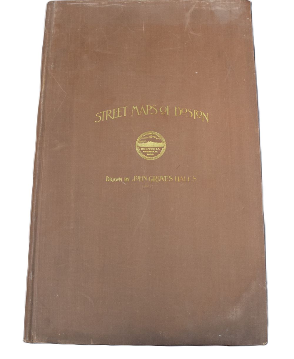
1819 Street Maps Of Boston - An atlas of Street Maps of Boston drawn by John Graves Hales, 1819, made for the selectmen of Boston. Reproduced by Boston, Rockwell, & Churchill, City Printers, 1894. There is a map of each street with short survey description of each, 285 pages. Dimensions: 17” x 13.5”