Bidspirit auction | Colored Map of New Hampshire
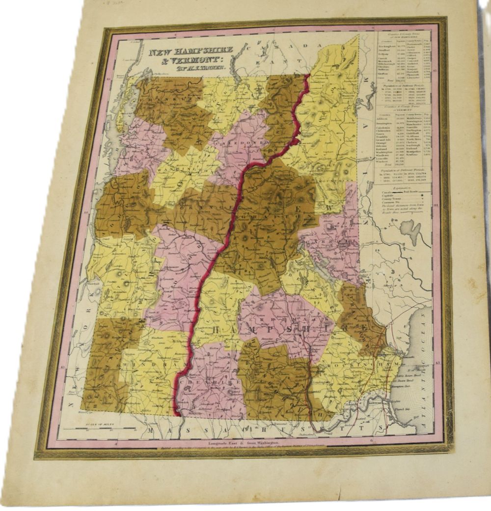
Colored Map of New Hampshire and Vermont - An 1840 colored map of New Hampshire and Vermont by H.S. Tanner (14.5” x 12”). The map is in full color by county with population charts for different periods and by counties and towns with railroads and canals shown.