Bidspirit auction | Vintage City and Vicinity Map
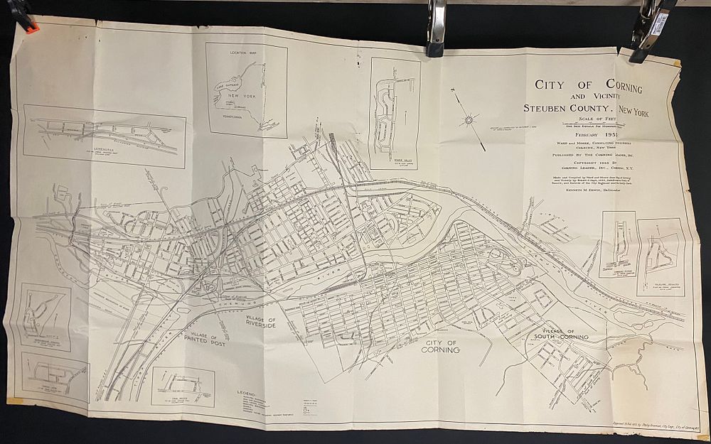
Vintage City and Vicinity Map of Corning, Steuben County, New York, 1951-1956 - A vintage black and white city and vicinity map of Corning, Steuben County, New York, printed on paper. The map was initially dated February 1951, revised and corrected to October 1, 1956, and approved on February 25, 1955, by Philip Grannan, City Engineer. It was produced by Ward and Moore, Consulting Engineers, published by The Corning Leader, Inc., and delineated by Kenneth M. Erwin. The map details geographical features including the Chemung and Cohocton Rivers, rail lines such as the Erie Railroad, and roadways including NY Routes 15 and 17. Urban planning elements are also depicted, such as ”Village of Riverside,” ”Village of Painted Post,” ”Village of South Corning,” and a ”Proposed Relocation of River.” The map includes a legend detailing municipal boundaries, roads, industrial buildings, churches, and proposed highway features. Several inset maps of surrounding areas, including ”Longacres” and ”Beaver Valley,” are present. The scale is noted as ”One inch equals four hundred feet.”